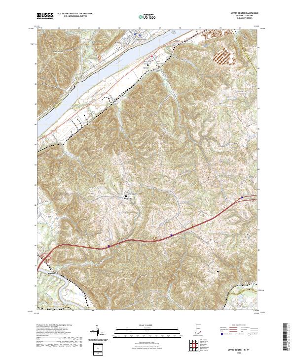
2022 Map of Vevay South
USGS Topo · Published 2022About this map
The Switzerland County Courthouse stands as a focal point in Vevay, Indiana, overlooking a bend in the Ohio River where Vevay Island separates the main channel. Directly across the water in Kentucky, the community of Ghent is marked by a concentration of local history sites, including the Ghent Second Baptist Cem, Ghent Consolidated Cem, and the Colored Oddfellows Cem. The landscape south of the river turns toward the ridges and hollows of Carroll County, where smaller settlements like Easterday and Langstaff are connected by winding routes such as Jackson Ridge Rd and Stafford Ridge Rd. This area is defined by its numerous drainages, including Goose Creek and Whitehead Run, which feed the river system. Researchers will find a high density of rural landmarks, from the Lower Whites Run Baptist Church to family-named points like Potato Bug Hill and Whiskey Hollow.
Find a feature on this map
78 named features on this map. Tap any name to fly to it.
Don’t see what you’re looking for? This feature index may not catch every label — zoom into the map to look around manually.
Map Details
Editions of this 2022 Vevay South Map
This is the sole edition of this map. No revisions or reprints were ever made.
Other maps of this area

1943 · Florence
USGS Topo · 1:24,000

1943 · Vevay North
USGS Topo · 1:24,000

1943 · Brooksburg
USGS Topo · 1:24,000

1943 · Vevay South
USGS Topo · 1:24,000

1950 · New Liberty
USGS Topo · 1:24,000

1951 · Florence
USGS Topo · 1:24,000

1951 · Sanders
USGS Topo · 1:24,000

1952 · Vevay South
USGS Topo · 1:24,000

1952 · Worthville
USGS Topo · 1:24,000

1952 · Campbellsburg
USGS Topo · 1:24,000