
1968 Map of Vey Ranch
USGS Topo · Published 1970About this map
Vey Ranch serves as a central landmark in this high-desert landscape, positioned along the banks of Butter Creek. The terrain is defined by a series of deep drainages including Service Canyon and Ayers Canyon, which cut through the hills of the Umatilla Co Morrow Co border. Surveyed in the late 1960s, the area shows a distinct ranching economy supported by infrastructure such as Landing Strips, a Gaging Station, and a small Dam on the creek. The presence of numerous Jeep Trails and names like Mule Hollow and Matlock Canyon suggest a working landscape of livestock and land management. Researchers can find specific utilitarian features like a Borrow Pit and several Springs that provided essential water in this arid stretch of eastern Oregon.
Find a feature on this map
18 named features on this map. Tap any name to fly to it.
Don’t see what you’re looking for? This feature index may not catch every label — zoom into the map to look around manually.
Map Details
Editions of this 1968 Vey Ranch Map
This is the sole edition of this map. No revisions or reprints were ever made.
Other maps of this area

1908 · Umatilla
USGS Topo · 1:125,000

1953 · Pendleton
USGS Topo · 1:250,000

1956 · Pendleton
USGS Topo · 1:250,000

1968 · Service Buttes NW
USGS Topo · 1:24,000

1968 · Lena
USGS Topo · 1:24,000
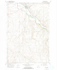
1968 · Echo
USGS Topo · 1:24,000

1968 · Gleason Butte
USGS Topo · 1:24,000

1968 · Butter Creek Junction
USGS Topo · 1:24,000
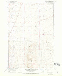
1968 · Service Buttes
USGS Topo · 1:24,000
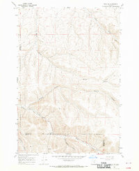
1968 · Echo SW
USGS Topo · 1:24,000