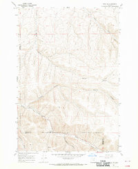
1968 Map of Echo SW
USGS Topo · Published 1970About this map
Butter Creek winds through the southern portion of this landscape, marking a significant drainage point within the high desert environment of Eastern Oregon. The terrain is defined by a complex system of dry washes and deep incisions, including the prominent Alkali Canyon and Slusher Canyon. The convergence of Spikes Gulch and other drainages like Matlock Canyon and Cunningham Canyon illustrates the erosional patterns of the region during the late 1960s. Surveyors noted the Base Line passing through the southern sections, a critical reference point for the Public Land Survey System that governs local property boundaries. The presence of a Jeep Trail provides insight into the limited transportation network used for ranching and land management in this rural Umatilla and Morrow County border area.
Find a feature on this map
12 named features on this map. Tap any name to fly to it.
Don’t see what you’re looking for? This feature index may not catch every label — zoom into the map to look around manually.
Map Details
Editions of this 1968 Echo SW Map
This is the sole edition of this map. No revisions or reprints were ever made.
Other maps of this area

1908 · Umatilla
USGS Topo · 1:125,000

1953 · Pendleton
USGS Topo · 1:250,000

1956 · Pendleton
USGS Topo · 1:250,000
1968 · Echo SE
USGS Topo · 1:24,000

1968 · Lena
USGS Topo · 1:24,000
1968 · Echo
USGS Topo · 1:24,000
1968 · Nolin
USGS Topo · 1:24,000

1968 · Vey Ranch
USGS Topo · 1:24,000
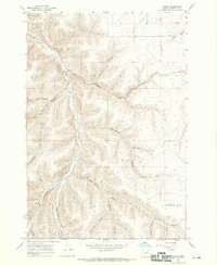
1968 · Vinson
USGS Topo · 1:24,000
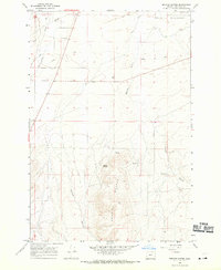
1968 · Service Buttes
USGS Topo · 1:24,000