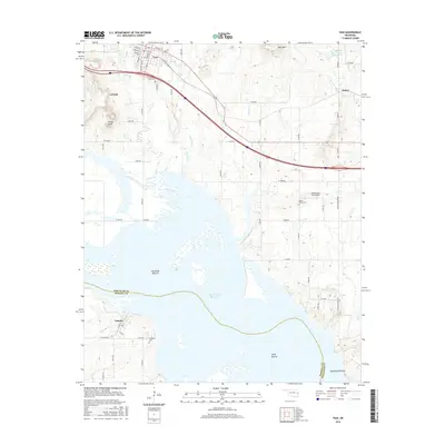
2016 Map of Vian
USGS Topo · Published 2016About this map
The town of Vian serves as a northern hub in this landscape where the hills of eastern Oklahoma meet the broad reaches of the Robert S Kerr Reservoir. To the south, the settlement of Tamaha sits near the riverbanks, surrounded by the fertile alluvial plains of Sandtown Bottom, Saylor Bottom, and Mulehead Bottom. This map illustrates the intersection of upland terrain features like Potato Knob and Wolf Mtn with the expansive water systems of Vian Creek and Little Vian Cr.
Find a feature on this map
64 named features on this map. Tap any name to fly to it.
Don’t see what you’re looking for? This feature index may not catch every label — zoom into the map to look around manually.
Map Details
Editions of this 2016 Vian Map
This is the sole edition of this map. No revisions or reprints were ever made.
Other maps of this area

1898 · Tahlequah
USGS Topo · 1:125,000

1900 · Sansbois
USGS Topo · 1:125,000

1900 · Sallisaw
USGS Topo · 1:125,000

1901 · Muscogee
USGS Topo · 1:125,000

1901 · Tahlequah
USGS Topo · 1:125,000

1905 · Muscogee
USGS Topo · 1:125,000

1905 · Tahlequah
USGS Topo · 1:125,000

1909 · Sans Bois
USGS Topo · 1:125,000

1911 · Sallisaw
USGS Topo · 1:125,000

1911 · Sansbois
USGS Topo · 1:125,000