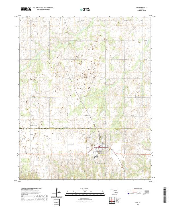
2022 Map of Vici
USGS Topo · Published 2022About this map
Vici serves as the focal point of this agricultural and ranching landscape, straddling the boundary between Woodward Co and Dewey Co. The town layout is defined by a grid including Main St and Broadway St, supporting the local economy near the Vici Municipal Airport. The surrounding terrain is dissected by numerous waterways, such as S Persimmon Cr to the north and Cottonwood Cr to the south, which have shaped the placement of rural section roads like E0550 Rd and Male Rd. For genealogists and local historians, the map identifies critical burial sites including South Persimmon Cem and Vassar Cem, providing spatial context for early family settlements. The intricate network of county roads illustrates a highly organized land use pattern typical of the Oklahoma plains in the early 21st century.
Find a feature on this map
36 named features on this map. Tap any name to fly to it.
Don’t see what you’re looking for? This feature index may not catch every label — zoom into the map to look around manually.
Map Details
Editions of this 2022 Vici Map
This is the sole edition of this map. No revisions or reprints were ever made.
Other maps of this area

1955 · Woodward
USGS Topo · 1:250,000

1958 · Woodward
USGS Topo · 1:250,000

1969 · Vici NW
USGS Topo · 1:24,000

1969 · Woodward SW
USGS Topo · 1:24,000

1969 · Sharon
USGS Topo · 1:24,000

1969 · Mooreland SW
USGS Topo · 1:24,000

1969 · Mutual SW
USGS Topo · 1:24,000

1969 · Mutual
USGS Topo · 1:24,000

1969 · Camargo
USGS Topo · 1:24,000

1969 · Vici
USGS Topo · 1:24,000