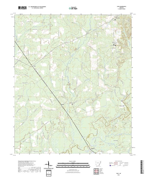
2024 Map of Vick
USGS Topo · Published 2024About this map
The Saline River winds through this rural landscape in Bradley County, defining a territory of wetlands and timberland marked by the distinct turns of Oxbow Bend and Robinson Bay. The settlement of Johnsville sits in the northern reaches, while the small hubs of Vick and Broad anchor the western and central corridors. This area is characterized by its legacy of community and faith, evidenced by several cemeteries that serve as vital landmarks for local family history, including the Palestine African Methodist Episcopal Church Cem and Hampton Chapel Cem.
Find a feature on this map
79 named features on this map. Tap any name to fly to it.
Don’t see what you’re looking for? This feature index may not catch every label — zoom into the map to look around manually.
Map Details
Editions of this 2024 Vick Map
This is the sole edition of this map. No revisions or reprints were ever made.
Other maps of this area

1934 · Ingalls
USGS Topo · 1:48,000

1934 · Felsenthal
USGS Topo · 1:62,500

1937 · Felsenthal
USGS Topo · 1:62,500

1937 · Ingalls
USGS Topo · 1:62,500

1938 · Felsenthal
USGS Topo · 1:62,500

1939 · Felsenthal
USGS Topo · 1:62,500

1939 · Ingalls
USGS Topo · 1:62,500

1953 · Greenwood
USGS Topo · 1:250,000

1953 · El Dorado
USGS Topo · 1:250,000

1956 · Greenwood
USGS Topo · 1:250,000