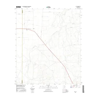
2016 Map of Vick
USGS Topo · Published 2016About this map
The settlement of Vick serves as a central point in this rural Texas landscape where the boundaries of Tom Green Co and Concho Co meet. The terrain is defined by a series of intermittent drainage systems, most notably Kickapoo Cr and Frog Pond Cr, which weave through the contour-defined hills. A significant topographic feature, Dry Hollow, lies just west of the main settlement area, illustrating the arid-cycle hydrology characteristic of the region. Transportation in the mid-2010s is anchored by State Loop 577 and a network of county roads like Co Rd 1388 and Co Rd 1279, which connect isolated ranching properties. The map captures the sparse, high-plains settlement pattern where large land tracts are accessed via named routes such as Sanders Rd and E Coor Rd, reflecting the enduring ranching heritage along Welch Cr.
Find a feature on this map
19 named features on this map. Tap any name to fly to it.
Don’t see what you’re looking for? This feature index may not catch every label — zoom into the map to look around manually.
Map Details
Editions of this 2016 Vick Map
This is the sole edition of this map. No revisions or reprints were ever made.
Other maps of this area
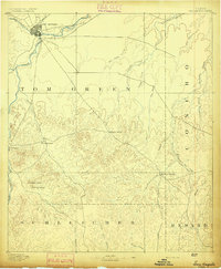
1892 · San Angelo
USGS Topo · 1:125,000
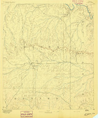
1892 · Eden
USGS Topo · 1:125,000
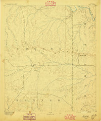
1896 · Eden
USGS Topo · 1:125,000

1954 · Brownwood
USGS Topo · 1:250,000
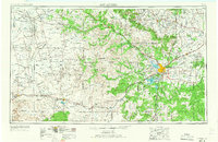
1954 · San Angelo
USGS Topo · 1:250,000
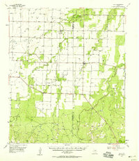
1957 · Eola
USGS Topo · 1:62,500
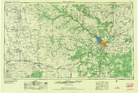
1958 · San Angelo
USGS Topo · 1:250,000
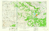
1965 · San Angelo
USGS Topo · 1:250,000
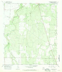
1967 · Millersview NW
USGS Topo · 1:24,000
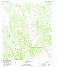
1967 · Millersview SW
USGS Topo · 1:24,000