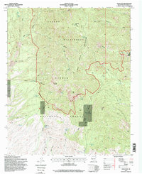
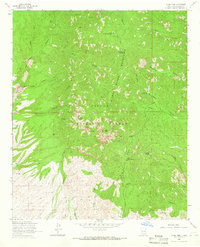
1995 Map of Vicks Peak
USGS Topo · Published 1998About this map
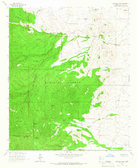
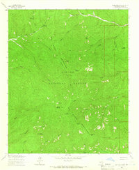
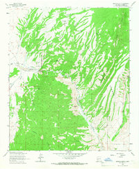
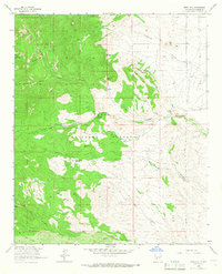
Apache Kid Wilderness and the Cibola National Forest dominate this high-altitude landscape in Socorro County, where 1990s surveying documented a terrain defined by isolated springs and steep canyon networks. Landmarks such as San Mateo Peak and Vicks Peak anchor the ridgelines of the San Mateo Mountains, while human activity is marked by remote structures like Cooks Cabin Corral, Myers Cabin, and Shipman Cabin. The presence of the Priest Mine and Frank Mine points to the area's mineral prospecting history, supported by vital water sources like Shipman Spring and Rock Spring. These features, connected by routes like the Cowboy Trail and Burma Road, illustrate a backcountry economy focused on ranching and mining far from the urban centers of New Mexico.
Find a feature on this map
88 named features on this map. Tap any name to fly to it.
Don’t see what you’re looking for? This feature index may not catch every label — zoom into the map to look around manually.
Map Details
Editions of this 1995 Vicks Peak Map
This is the sole edition of this map. No revisions or reprints were ever made.
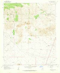
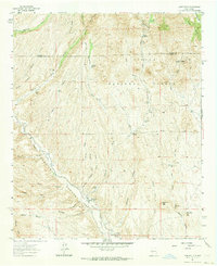
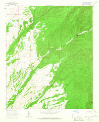
Other maps of this area

1954 · Tularosa
USGS Topo · 1:250,000

1958 · Tularosa
USGS Topo · 1:250,000
1961 · Sierra Fijardo
USGS Topo · 1:24,000
1961 · Monticello
USGS Topo · 1:24,000
1964 · Welty Hill
USGS Topo · 1:24,000
1964 · Vicks Peak
USGS Topo · 1:24,000
1964 · San Juan Peak
USGS Topo · 1:24,000
1964 · Blue Mountain
USGS Topo · 1:24,000
1964 · Montoya Butte
USGS Topo · 1:24,000
1964 · Steel Hill
USGS Topo · 1:24,000