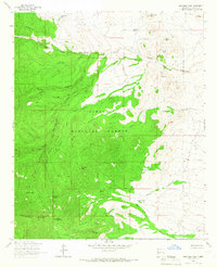
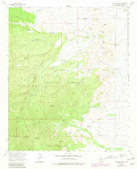
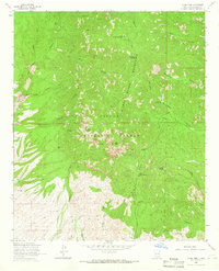
1964 Map of San Juan Peak
USGS Topo · Published 1966About this map
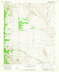
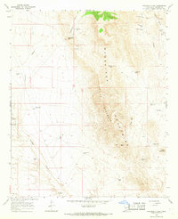
Cibola National Forest dominates this mid-1960s survey of the Socorro County highlands, defined by the prominent heights of San Juan Peak and Piñon Mountain. The landscape is a complex network of drainages and high ridges, where the steep descent of The Gorge and the winding course of San Juan Canyon shape the movement of water through an arid environment. Cattle ranching and land management infrastructure are evident in the numerous stock tanks scattered across the terrain, including Wasp Tank, Snake Tank, and Eaton Tank.
Find a feature on this map
30 named features on this map. Tap any name to fly to it.
Don’t see what you’re looking for? This feature index may not catch every label — zoom into the map to look around manually.
Map Details
Editions of this 1964 San Juan Peak Map
2 editions found
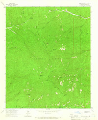
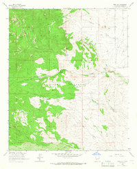
Other maps of this area

1954 · Tularosa
USGS Topo · 1:250,000

1958 · Tularosa
USGS Topo · 1:250,000
1961 · Hickman Ranch
USGS Topo · 1:24,000
1961 · Black Hill
USGS Topo · 1:24,000
1964 · Vicks Peak
USGS Topo · 1:24,000
1964 · Blue Mountain
USGS Topo · 1:24,000
1964 · Steel Hill
USGS Topo · 1:24,000
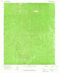
1964 · Grassy Lookout
USGS Topo · 1:24,000
1965 · Tenmile Hill
USGS Topo · 1:24,000
1965 · Puertecito Gap
USGS Topo · 1:24,000