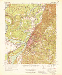
1964 Map of Vicksburg
USGS Topo · Published 1964About this map
The Vicksburg riverfront and its complex hydrologic history dominate this 1964 survey, showing the dramatic shifts of the Mississippi River through the centuries. Notable markers like the Yazoo Cut-Off (1799) and Centennial Cut-Off (1876) illustrate how the river's path changed, creating landforms like Kings Point and Centennial Lake. This mid-century view captures the industrial and research character of the area, from the Port of Vicksburg and the U S Waterways Experiment Station to the extensive Vicksburg National Military Park that rings the city.
Find a feature on this map
92 named features on this map. Tap any name to fly to it.
Don’t see what you’re looking for? This feature index may not catch every label — zoom into the map to look around manually.
Map Details
Editions of this 1964 Vicksburg Map
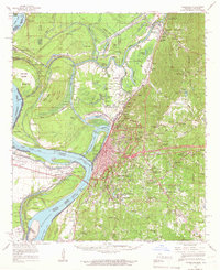
2 editions found
Other maps of this area

1909 · Millikens Bend
USGS Topo · 1:24,000

1909 · Mound
USGS Topo · 1:24,000

1910 · Mound
USGS Topo · 1:31,680

1918 · Vicksburg
USGS Topo · 1:62,500

1938 · Edwards
USGS Topo · 1:62,500

1939 · Onward
USGS Topo · 1:62,500

1939 · Talla Bena
USGS Topo · 1:62,500

1939 · Yokena
USGS Topo · 1:62,500

1939 · Alsatia
USGS Topo · 1:62,500

1940 · Mechanicsburg
USGS Topo · 1:62,500