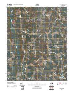
2010 Map of Vicksville
USGS Topo · Published 2010About this map
Vicksville and Beales anchor this rural Southampton County landscape, where the terrain is defined by a complex network of wetlands and creek systems. To the south, the Nottoway R flows through the dense Nottoway Swamp, while the northern portion is dominated by the wide expanse of Assamoosick Swamp. The map highlights the local significance of the Darden family legacy near the southeastern corner, featuring Darden Millpond, the Colgate Darden Dam, and Darden Camp. Small settlements like Dory and Sebrell are connected by a web of named country roads, including Cabin Point Rd and Wakefield Rd, reflecting a landscape dedicated to timber and agriculture. The presence of numerous named branches, such as Horsepen Branch and Indigo Branch, illustrates the intricate drainage patterns that have historically shaped land use and property boundaries in this part of Virginia.
Find a feature on this map
43 named features on this map. Tap any name to fly to it.
Don’t see what you’re looking for? This feature index may not catch every label — zoom into the map to look around manually.
Map Details
Editions of this 2010 Vicksville Map
This is the sole edition of this map. No revisions or reprints were ever made.
Other maps of this area

1919 · Homeville
USGS Topo · 1:48,000

1919 · Boykins
USGS Topo · 1:48,000

1920 · Holland
USGS Topo · 1:62,500

1920 · Ivor
USGS Topo · 1:62,500

1920 · Homeville
USGS Topo · 1:62,500

1920 · Boykins
USGS Topo · 1:62,500

1943 · Holland
USGS Topo · 1:62,500

1943 · Sebrell
USGS Topo · 1:31,680

1943 · Manry
USGS Topo · 1:31,680

1943 · Littleton
USGS Topo · 1:31,680