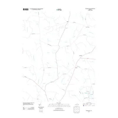
2013 Map of Vicksville
USGS Topo · Published 2013About this map
Vicksville and Beales anchor this part of Southampton County, where the landscape is defined by an extensive network of blackwater drainages and named wetlands. The intricate hydrology of the area is represented by the massive Assamoosick Swamp to the west and Nottoway Swamp to the south, both fed by numerous tributaries such as Indian Br and Indigo Br. These waterways historically dictated the patterns of settlement and road construction, with crossings like the Horsepen Bridge serving as vital links between rural communities.
Find a feature on this map
48 named features on this map. Tap any name to fly to it.
Don’t see what you’re looking for? This feature index may not catch every label — zoom into the map to look around manually.
Map Details
Editions of this 2013 Vicksville Map
This is the sole edition of this map. No revisions or reprints were ever made.
Other maps of this area

1919 · Homeville
USGS Topo · 1:48,000

1919 · Boykins
USGS Topo · 1:48,000

1920 · Holland
USGS Topo · 1:62,500

1920 · Ivor
USGS Topo · 1:62,500

1920 · Homeville
USGS Topo · 1:62,500

1920 · Boykins
USGS Topo · 1:62,500

1943 · Holland
USGS Topo · 1:62,500

1943 · Sebrell
USGS Topo · 1:31,680

1943 · Manry
USGS Topo · 1:31,680

1943 · Littleton
USGS Topo · 1:31,680