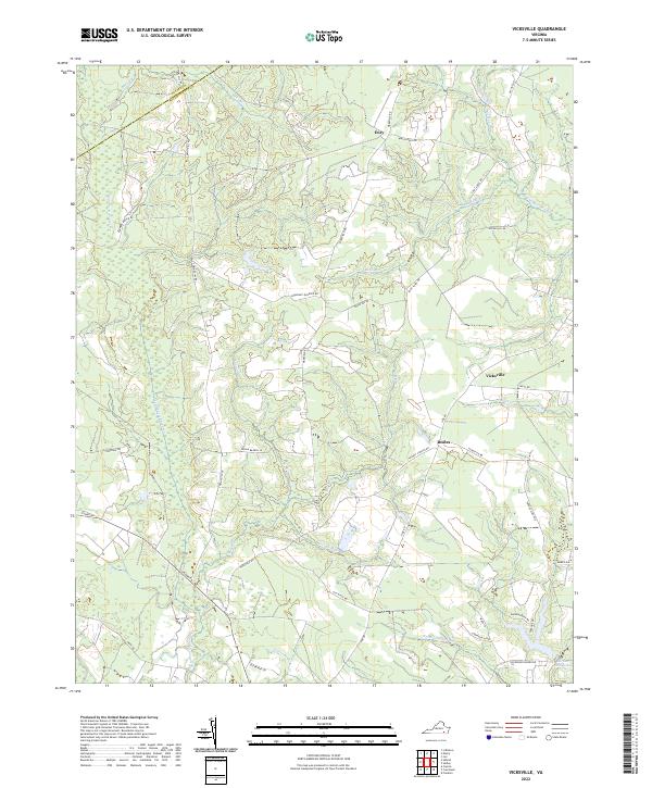
2022 Map of Vicksville
USGS Topo · Published 2022About this map
The Assamoosick Swamp and Nottoway Swamp systems dominate this area of the Tidewater region along the border of Sussex and Southampton counties. A network of rural settlements, including Vicksville, Dory, and Beales, is connected by a web of local routes such as Cabin Point Rd and Wakefield Rd. The landscape is defined by its low-lying drainage, with numerous branches and runs including Indigo Br, Mill Run, and Village Run feeding into the larger swamp complexes. In the southeast, the Darden Millpond serves as a significant water feature, while roads like Plank Rd and Ivor Rd follow the natural rises in the terrain between the wetlands. This 2022 survey provides a detailed view of modern rural land use in Virginia, where large swamp tracts remain largely unbisected by the surrounding residential and agricultural road network.
Find a feature on this map
43 named features on this map. Tap any name to fly to it.
Don’t see what you’re looking for? This feature index may not catch every label — zoom into the map to look around manually.
Map Details
Editions of this 2022 Vicksville Map
This is the sole edition of this map. No revisions or reprints were ever made.
Other maps of this area

1919 · Homeville
USGS Topo · 1:48,000

1919 · Boykins
USGS Topo · 1:48,000

1920 · Holland
USGS Topo · 1:62,500

1920 · Ivor
USGS Topo · 1:62,500

1920 · Homeville
USGS Topo · 1:62,500

1920 · Boykins
USGS Topo · 1:62,500

1943 · Holland
USGS Topo · 1:62,500

1943 · Sebrell
USGS Topo · 1:31,680

1943 · Manry
USGS Topo · 1:31,680

1943 · Littleton
USGS Topo · 1:31,680