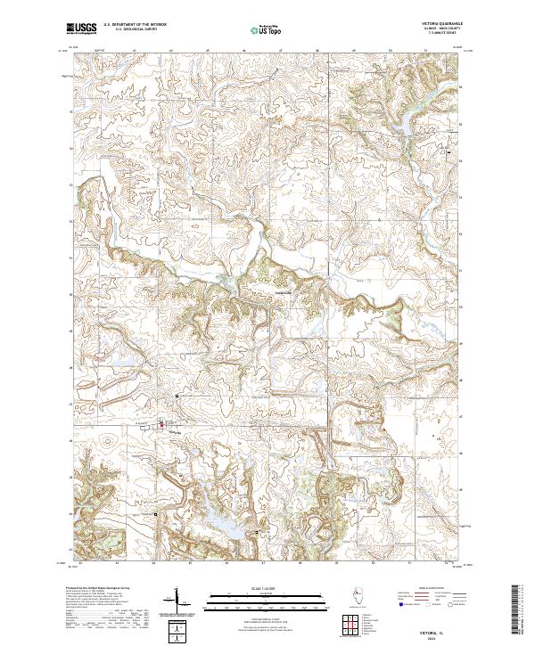
2024 Map of Victoria
USGS Topo · Published 2024About this map
The village of Victoria serves as the primary hub of this Knox County landscape, where the intersection of W Main St and S Union ST anchors the local street grid. The surrounding terrain is defined by the winding course of Walnut Creek and its tributaries, including Brandywine Creek and Fitch Creek. A distinct network of water bodies, such as Roundhouse Lake, Old Garage Lake, and T Lake, suggests a legacy of land use that has reshaped the natural drainage south of the main settlement.
Find a feature on this map
48 named features on this map. Tap any name to fly to it.
Don’t see what you’re looking for? This feature index may not catch every label — zoom into the map to look around manually.
Map Details
Editions of this 2024 Victoria Map
This is the sole edition of this map. No revisions or reprints were ever made.
Other maps of this area

1931 · Galva
USGS Topo · 1:48,000

1940 · Galva
USGS Topo · 1:62,500

1941 · Maquon
USGS Topo · 1:62,500

1943 · Maquon
USGS Topo · 1:62,500

1944 · Galva
USGS Topo · 1:62,500

1944 · Kewanee
USGS Topo · 1:62,500

1944 · Elmwood
USGS Topo · 1:62,500

1948 · Elmwood
USGS Topo · 1:62,500

1953 · Nekoma
USGS Topo · 1:24,000
1953 · Galva
USGS Topo · 1:24,000