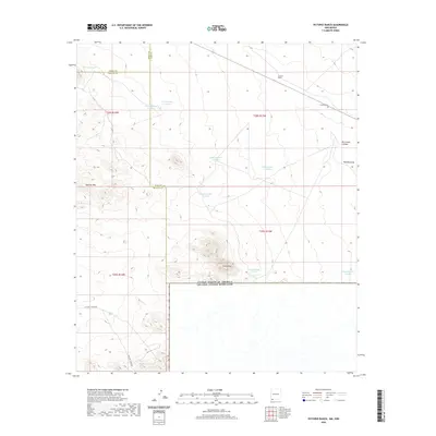
2020 Map of Victorio Ranch
USGS Topo · Published 2020About this map
The United States - Mexico border forms the southern boundary of this arid landscape, where the Chihuahuan Desert terrain is marked by isolated peaks and seasonal water catchments. The Sierra Rica range rises near the international line, while the Apache Hills dominate the western portion of the quadrangle. Human presence is centered on the historic Victorio Ranch, which includes the small Victorio Cem as a focal point for genealogical interest in this remote corner of New Mexico. The map illustrates a ranching infrastructure reliant on numerous numbered water tanks, such as Tank Number 1 South and Tank Number 10 South, alongside natural features like Wamels Draw. These dispersed resources reflect the survival strategies required for livestock management in a region where the Hidalgo, Luna, and Grant county lines converge.
Find a feature on this map
23 named features on this map. Tap any name to fly to it.
Don’t see what you’re looking for? This feature index may not catch every label — zoom into the map to look around manually.
Map Details
Editions of this 2020 Victorio Ranch Map
This is the sole edition of this map. No revisions or reprints were ever made.
Other maps of this area

1918 · Big Hatchet Peak
USGS Topo · 1:62,500

1918 · Hachita
USGS Topo · 1:62,500

1918 · Victorio
USGS Topo · 1:62,500

1955 · Douglas
USGS Topo · 1:250,000

1959 · Douglas
USGS Topo · 1:250,000

1961 · Douglas
USGS Topo · 1:250,000

1964 · Douglas
USGS Topo · 1:250,000
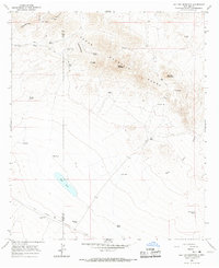
1964 · Hat Top Mountain
USGS Topo · 1:24,000
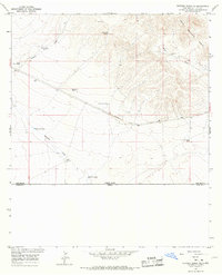
1964 · Victorio Ranch SE
USGS Topo · 1:24,000
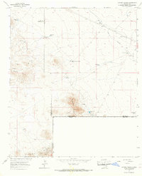
1965 · Victorio Ranch
USGS Topo · 1:24,000