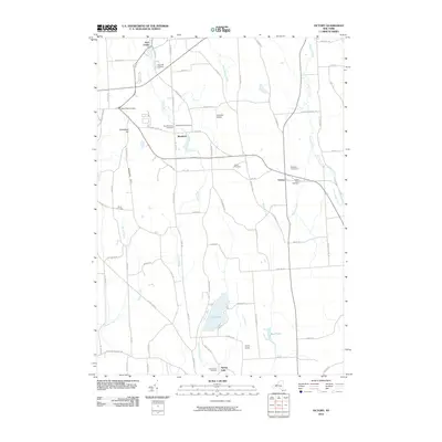
2010 Map of Victory
USGS Topo · Published 2010About this map
Red Creek flows through a rural landscape defined by drumlins and small agricultural hamlets in this 2010 survey of Wayne County. The map details the village of Victory and the smaller settlements of Westbury and Spring Lake, reflecting a long-established pattern of country living. Numerous burial grounds, including the New Westbury Cemetery, Old Westbury Cemetery, and French Cemetery, provide essential spatial references for family historians tracing local lineages.
Find a feature on this map
77 named features on this map. Tap any name to fly to it.
Don’t see what you’re looking for? This feature index may not catch every label — zoom into the map to look around manually.
Map Details
Editions of this 2010 Victory Map
This is the sole edition of this map. No revisions or reprints were ever made.
Other maps of this area

1900 · Oswego
USGS Topo · 1:62,500

1902 · Sodus Bay
USGS Topo · 1:62,500

1902 · Clyde
USGS Topo · 1:62,500

1902 · Weedsport
USGS Topo · 1:62,500

1943 · Montezuma
USGS Topo · 1:31,680

1943 · Cato
USGS Topo · 1:31,680

1943 · Savannah
USGS Topo · 1:31,680

1943 · Hannibal
USGS Topo · 1:31,680

1943 · Weedsport
USGS Topo · 1:31,680

1943 · Fair Haven
USGS Topo · 1:31,680