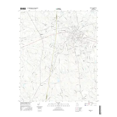
2017 Map of Vidalia
USGS Topo · Published 2017About this map
Vidalia serves as the bustling centerpiece of this south Georgia landscape, where the boundary between Montgomery Co and Toombs Co cuts through a network of creeks and small settlements. The town of Higgston lies to the northwest, connected to the city by corridors like Mt Vernon Rd and Northside Dr. This 2017 survey reveals a deeply established rural fabric characterized by numerous family and community burial grounds, such as McCrimmon Cem, Wilson Cem, and Bell Cem.
Find a feature on this map
224 named features on this map. Tap any name to fly to it.
Don’t see what you’re looking for? This feature index may not catch every label — zoom into the map to look around manually.
Map Details
Editions of this 2017 Vidalia Map
This is the sole edition of this map. No revisions or reprints were ever made.
Other maps of this area

1957 · Macon
USGS Topo · 1:250,000

1958 · Macon
USGS Topo · 1:250,000

1964 · Macon
USGS Topo · 1:250,000

1970 · Johnson Corner
USGS Topo · 1:24,000

1970 · Alston
USGS Topo · 1:24,000

1970 · Oak Park SW
USGS Topo · 1:24,000

1970 · Mount Vernon
USGS Topo · 1:24,000

1970 · Vidalia
USGS Topo · 1:24,000

1970 · Uvalda
USGS Topo · 1:24,000

1970 · Lyons
USGS Topo · 1:24,000