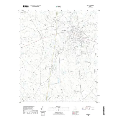
2020 Map of Vidalia
USGS Topo · Published 2020About this map
Vidalia and the surrounding borderlands of Montgomery and Toombs County are documented here in detail, showing a landscape defined by agricultural traditions and modern aviation. The city of Vidalia serves as the central hub, with its suburban expansion reaching toward the community of Charles. The Vidalia Regional Airport stands as a prominent landmark on the eastern edge of the quadrangle, while smaller settlements like Higgston, Petross, and Center dot the rural interior.
Find a feature on this map
232 named features on this map. Tap any name to fly to it.
Don’t see what you’re looking for? This feature index may not catch every label — zoom into the map to look around manually.
Map Details
Editions of this 2020 Vidalia Map
This is the sole edition of this map. No revisions or reprints were ever made.
Other maps of this area

1957 · Macon
USGS Topo · 1:250,000

1958 · Macon
USGS Topo · 1:250,000

1964 · Macon
USGS Topo · 1:250,000

1970 · Johnson Corner
USGS Topo · 1:24,000

1970 · Alston
USGS Topo · 1:24,000

1970 · Oak Park SW
USGS Topo · 1:24,000

1970 · Mount Vernon
USGS Topo · 1:24,000

1970 · Vidalia
USGS Topo · 1:24,000

1970 · Uvalda
USGS Topo · 1:24,000

1970 · Lyons
USGS Topo · 1:24,000