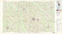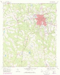
1970 Map of Vidalia
USGS Topo · Published 1986About this map
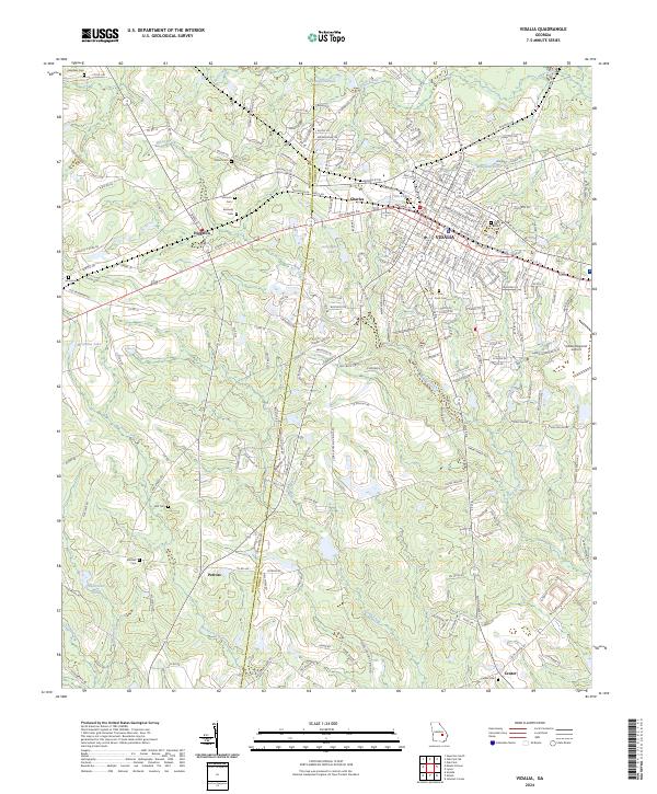
The city of Vidalia serves as the primary urban center for this Georgia landscape, defined by a significant rail junction and expanding municipal infrastructure in the late 1960s. The meeting of the Seaboard Coast Line and the Central of Georgia railroads established the town's character as a regional transit point, with industrial and residential growth radiating from the core near City Hall. To the west, the smaller settlement of Higgston borders the Montgomery and Toombs County line, surrounded by several family and community landmarks such as Kennedy Cem and Johnson Cem.
Find a feature on this map
44 named features on this map. Tap any name to fly to it.
Don’t see what you’re looking for? This feature index may not catch every label — zoom into the map to look around manually.
Map Details
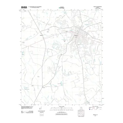
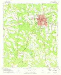
Editions of this 1970 Vidalia Map
2 editions found
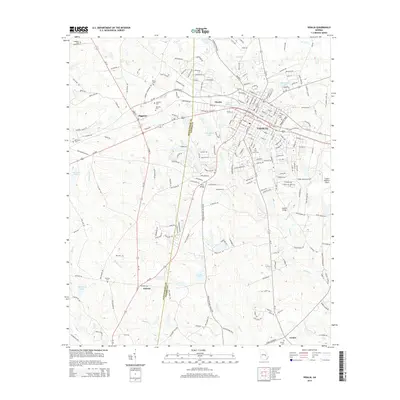
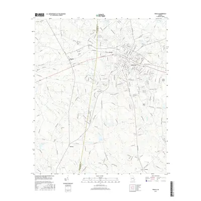
Historical Maps of Higgston Through Time
7 maps found