Loading...
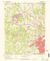
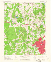
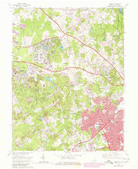
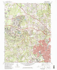
Loading map...1966 Map of Vienna
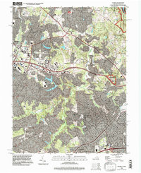
USGS Topo · Published 1971About this map
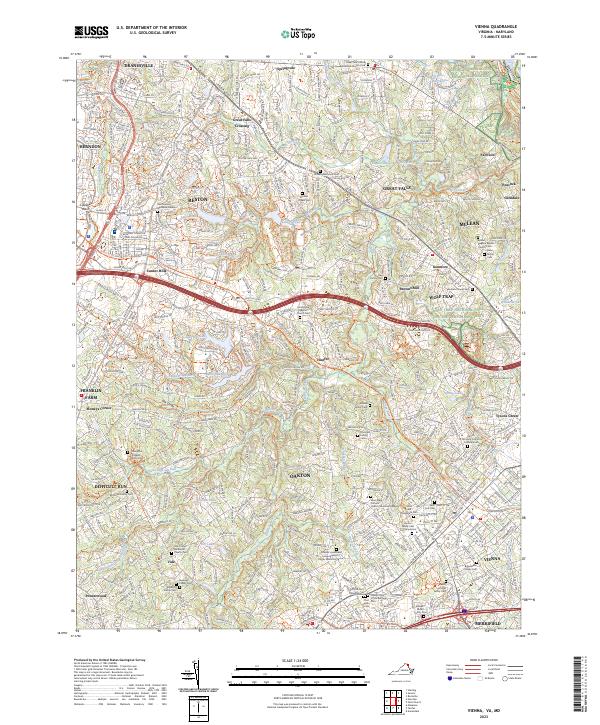
Vienna and the planned community of Reston are captured during a period of rapid suburban expansion in Northern Virginia. The map illustrates a transitional landscape where historic rural landmarks like Browns Mill and Browns Chapel meet modern infrastructure such as the Dulles Airport Road. Significant residential development is visible around Lake Anne Village and Vienna Woods, yet the region's agricultural roots remain evident in the numerous small settlements like Vale, Hunter, and Dranesville.
Find a feature on this map
141 named features on this map. Tap any name to fly to it.
Don’t see what you’re looking for? This feature index may not catch every label — zoom into the map to look around manually.
Map Details
Date Portrayed1966
Date Published1971
PublisherU.S. Geological Survey
Map TypeTopographic
Scale1:24,000
Physical Dimensions22 x 27 inches
Editions of this 1966 Vienna Map
2 editions found
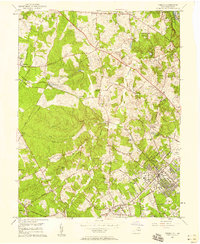
Historical Maps of Reston Through Time
7 maps found

Featured Locations
Source Details
SourceU.S. Geological Survey
CopyrightPublic Domain