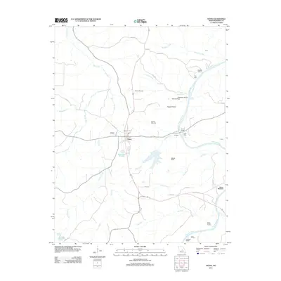
2012 Map of Vienna
USGS Topo · Published 2012About this map
Vienna sits at the heart of this Maries County landscape, situated between the winding courses of the Maries River and the Gasconade River. The settlement pattern follows the high ground and river valleys, with distinct features like James Brothers appearing to the southeast. The terrain is marked by notable relief, including Stencer Ridge and Woods Ridge, which overlook various hollows such as Plowbeam Hollow and Daggett Hollow.
Find a feature on this map
49 named features on this map. Tap any name to fly to it.
Don’t see what you’re looking for? This feature index may not catch every label — zoom into the map to look around manually.
Map Details
Editions of this 2012 Vienna Map
This is the sole edition of this map. No revisions or reprints were ever made.
Other maps of this area

1888 · Tuscumbia
USGS Topo · 1:125,000

1894 · Tuscumbia
USGS Topo · 1:125,000

1934 · Linn
USGS Topo · 1:48,000

1937 · Vienna
USGS Topo · 1:62,500

1938 · Vienna
USGS Topo · 1:48,000

1942 · Linn
USGS Topo · 1:62,500

1945 · Linn
USGS Topo · 1:62,500

1947 · Jefferson City
USGS Topo · 1:250,000

1948 · Meta
USGS Topo · 1:62,500

1948 · Tavern
USGS Topo · 1:62,500