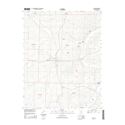
2015 Map of Vienna
USGS Topo · Published 2015About this map
Vienna serves as the central hub of this Maries County landscape, situated at the confluence of several local streams and ridges. The town's layout is grounded by historic sites like the Vienna Public Cemetery and the Visitation Cemetery, reflecting the early community's foundations. The surrounding topography is defined by the winding paths of the Maries River and the Gasconade River, where the Vienna Bridge provides a vital crossing near the Tie Slide and Plowbeam Hollow.
Find a feature on this map
35 named features on this map. Tap any name to fly to it.
Don’t see what you’re looking for? This feature index may not catch every label — zoom into the map to look around manually.
Map Details
Editions of this 2015 Vienna Map
This is the sole edition of this map. No revisions or reprints were ever made.
Other maps of this area

1888 · Tuscumbia
USGS Topo · 1:125,000

1894 · Tuscumbia
USGS Topo · 1:125,000

1934 · Linn
USGS Topo · 1:48,000

1937 · Vienna
USGS Topo · 1:62,500

1938 · Vienna
USGS Topo · 1:48,000

1942 · Linn
USGS Topo · 1:62,500

1945 · Linn
USGS Topo · 1:62,500

1947 · Jefferson City
USGS Topo · 1:250,000

1948 · Meta
USGS Topo · 1:62,500

1948 · Tavern
USGS Topo · 1:62,500