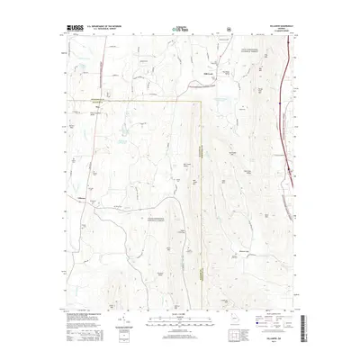
2014 Map of Villanow
USGS Topo · Published 2014About this map
Chattahoochee National Forest blankets the ridges and valleys of Northwest Georgia, where the borders of Whitfield and Walker Counties meet. The landscape is defined by the sharp verticality of Mill Creek Mountain and Rocky Face Mountain, separated by deep drainage basins like Mill Creek Valley and Furnace Valley. These geological features shaped the early settlement patterns of the area, funneling movement through strategic mountain passes such as Snake Creek Gap and Gentry Gap.
Find a feature on this map
85 named features on this map. Tap any name to fly to it.
Don’t see what you’re looking for? This feature index may not catch every label — zoom into the map to look around manually.
Map Details
Editions of this 2014 Villanow Map
This is the sole edition of this map. No revisions or reprints were ever made.
Other maps of this area

1886 · Dalton
USGS Topo · 1:125,000

1886 · Ringgold
USGS Topo · 1:125,000

1892 · Ringgold
USGS Topo · 1:125,000

1892 · Dalton
USGS Topo · 1:125,000

1897 · Dalton
USGS Topo · 1:125,000

1935 · Catlett
USGS Topo · 1:24,000

1935 · Villanow
USGS Topo · 1:24,000

1935 · Nickajack Gap
USGS Topo · 1:24,000

1935 · Tunnel Hill
USGS Topo · 1:24,000

1938 · Chatsworth
USGS Topo · 1:48,000