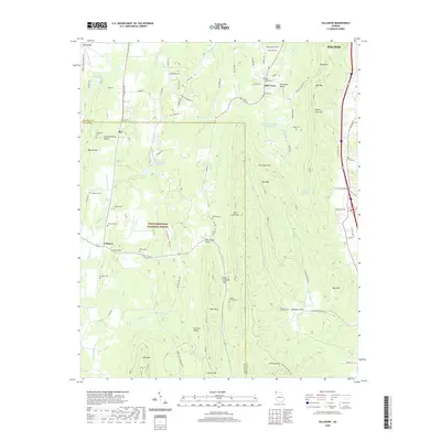
2020 Map of Villanow
USGS Topo · Published 2020About this map
Chattahoochee National Forest encompasses a significant portion of this landscape, where the ridges of Hurricane Mtn, Mill Creek Mtn, and Johns Mtn create a series of parallel valleys. The settlement of Villanow sits at a crossroads in the west, while Mill Creek and Redwine Cove occupy more secluded positions between the mountain folds. For those researching local families, the map is heavily marked with small cemeteries like the Strain Family Cem, Macedonia Cem, and Redwine Cove Cem, often located near these dispersed mountain communities.
Find a feature on this map
95 named features on this map. Tap any name to fly to it.
Don’t see what you’re looking for? This feature index may not catch every label — zoom into the map to look around manually.
Map Details
Editions of this 2020 Villanow Map
This is the sole edition of this map. No revisions or reprints were ever made.
Other maps of this area

1886 · Dalton
USGS Topo · 1:125,000

1886 · Ringgold
USGS Topo · 1:125,000

1892 · Ringgold
USGS Topo · 1:125,000

1892 · Dalton
USGS Topo · 1:125,000

1897 · Dalton
USGS Topo · 1:125,000

1935 · Catlett
USGS Topo · 1:24,000

1935 · Villanow
USGS Topo · 1:24,000

1935 · Nickajack Gap
USGS Topo · 1:24,000

1935 · Tunnel Hill
USGS Topo · 1:24,000

1938 · Chatsworth
USGS Topo · 1:48,000