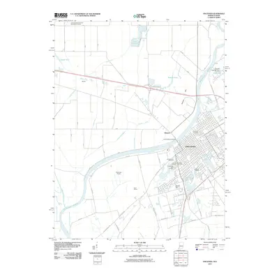
2010 Map of Vincennes
USGS Topo · Published 2010About this map
The Wabash River forms the primary geographic spine of this territory, marking the boundary between Indiana and Illinois. The city of Vincennes occupies the eastern bank, showcasing a dense urban grid that includes Vincennes University and several significant burial grounds, such as Fairview Cemetery and B'nai-Israel Cemetery. To the south, Bunker Hill overlooks the surrounding lowlands, while the landscape to the west opens into the Vincennes Prairie and the marshy expanses of the Embarras River basin.
Find a feature on this map
50 named features on this map. Tap any name to fly to it.
Don’t see what you’re looking for? This feature index may not catch every label — zoom into the map to look around manually.
Map Details
Editions of this 2010 Vincennes Map
This is the sole edition of this map. No revisions or reprints were ever made.
Other maps of this area

1915 · Vincennes
USGS Topo · 1:62,500

1917 · Birds
USGS Topo · 1:62,500

1942 · Fritchton
USGS Topo · 1:24,000

1942 · Birds
USGS Topo · 1:62,500

1943 · Oaktown
USGS Topo · 1:24,000

1944 · Fritchton
USGS Topo · 1:24,000

1944 · Iona
USGS Topo · 1:24,000

1944 · Vincennes
USGS Topo · 1:62,500

1956 · Vincennes
USGS Topo · 1:250,000

1957 · Vincennes
USGS Topo · 1:250,000