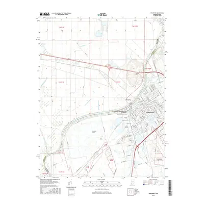
2016 Map of Vincennes
USGS Topo · Published 2016About this map
The Wabash River serves as the prominent boundary between Illinois and Indiana, framing the riverfront city of Vincennes. This landscape is defined by its deep historical roots, notably anchored by the George Rogers Clark National Historical Park and the nearby Lincoln Memorial Bridge crossing into Westport. The city’s core is dense with significant local institutions and landmarks, including Vincennes Univ and an extensive network of municipal and religious burial grounds such as Greenlawn Cem, Mount Calvary Cem, and Bnai Israel Cem.
Find a feature on this map
142 named features on this map. Tap any name to fly to it.
Don’t see what you’re looking for? This feature index may not catch every label — zoom into the map to look around manually.
Map Details
Editions of this 2016 Vincennes Map
This is the sole edition of this map. No revisions or reprints were ever made.
Other maps of this area

1915 · Vincennes
USGS Topo · 1:62,500

1917 · Birds
USGS Topo · 1:62,500

1942 · Fritchton
USGS Topo · 1:24,000

1942 · Birds
USGS Topo · 1:62,500

1943 · Oaktown
USGS Topo · 1:24,000

1944 · Fritchton
USGS Topo · 1:24,000

1944 · Iona
USGS Topo · 1:24,000

1944 · Vincennes
USGS Topo · 1:62,500

1956 · Vincennes
USGS Topo · 1:250,000

1957 · Vincennes
USGS Topo · 1:250,000