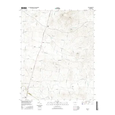
2016 Map of Vine
USGS Topo · Published 2016About this map
The rolling highlands of the Thompson Hills and Egypt Hill dominate this portion of Middle Tennessee, where the landscape is defined by the winding paths of Hurricane Cr and Fall Creek. Settled nodes like Bairds Mill and Major sit along the primary corridors, punctuated by family burial grounds including Major Cem and Huddleston Cem. The map reveals a transition from these upland peaks to the river valleys, where Jacksons Cave Spring and Dry Fork feed into the regional drainage system. To the south, the settlement of Vine marks a prominent junction near the Wilson Co and Rutherford Co border, while landmarks such as Toy Box Airport and Silver Hill indicate the continued agricultural and community use of the land. This terrain is characterized by a high density of named hills, including Pilot Knob and Pultight Hill, illustrating the intricate topography that has shaped local transportation and settlement patterns for generations.
Find a feature on this map
80 named features on this map. Tap any name to fly to it.
Don’t see what you’re looking for? This feature index may not catch every label — zoom into the map to look around manually.
Map Details
Editions of this 2016 Vine Map
This is the sole edition of this map. No revisions or reprints were ever made.
Other maps of this area

1908 · Woodbury
USGS Topo · 1:62,500

1916 · Murfreesboro
USGS Topo · 1:62,500

1942 · Statesville
USGS Topo · 1:100,000

1942 · Lebanon
USGS Topo · 1:100,000

1950 · Walterhill
USGS Topo · 1:24,000

1951 · Lebanon
USGS Topo · 1:24,000

1951 · Martha
USGS Topo · 1:24,000

1956 · Vine
USGS Topo · 1:24,000

1956 · Gladeville
USGS Topo · 1:24,000

1956 · Columbia
USGS Topo · 1:250,000