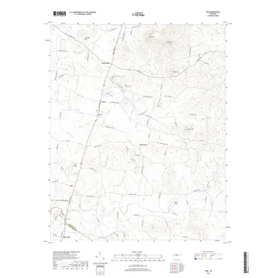
2019 Map of Vine
USGS Topo · Published 2019About this map
Bairds Mill and Silver Hill anchor this rural landscape along the border of Wilson and Rutherford counties. The terrain is defined by a series of prominent elevations, including Pilot Knob, Egypt Hill, and the Thompson Hills, which rise above the drainage basins of Fall Creek and Hurricane Cr. This 2019 survey documents a network of historic pikes and modern trails, such as Stewarts Ferry Pike and the Cedar Glades Trail, reflecting the area's transition from traditional agricultural use to recreational forest land.
Find a feature on this map
90 named features on this map. Tap any name to fly to it.
Don’t see what you’re looking for? This feature index may not catch every label — zoom into the map to look around manually.
Map Details
Editions of this 2019 Vine Map
This is the sole edition of this map. No revisions or reprints were ever made.
Other maps of this area

1908 · Woodbury
USGS Topo · 1:62,500

1916 · Murfreesboro
USGS Topo · 1:62,500

1942 · Statesville
USGS Topo · 1:100,000

1942 · Lebanon
USGS Topo · 1:100,000

1950 · Walterhill
USGS Topo · 1:24,000

1951 · Lebanon
USGS Topo · 1:24,000

1951 · Martha
USGS Topo · 1:24,000

1956 · Vine
USGS Topo · 1:24,000

1956 · Gladeville
USGS Topo · 1:24,000

1956 · Columbia
USGS Topo · 1:250,000