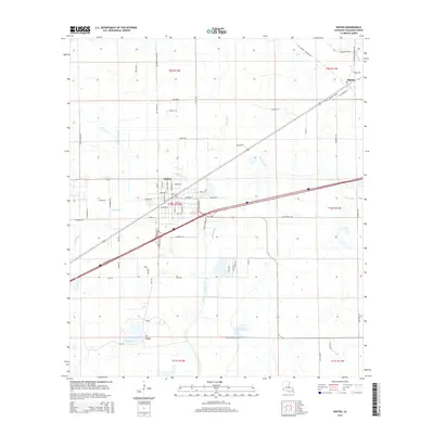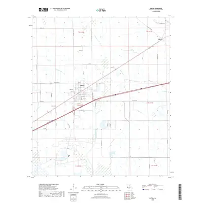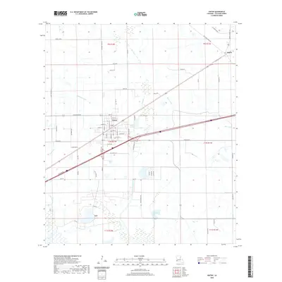
1994 Map of Vinton
USGS Topo · Published 1996About this map
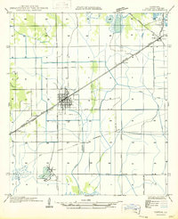
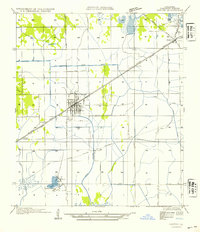
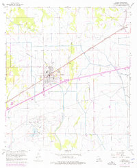
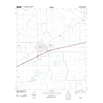
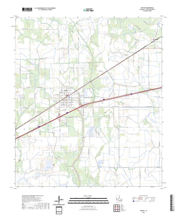
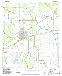
The town of Vinton anchors this landscape, surrounded by an intricate network of water management and petroleum extraction. To the south, the Vinton Oil Field and the waters of Ged Lake point to the area's industrial importance, while an extensive system of man-made waterways like the Sabine Canal, Vinton Canal, and Drew Canal facilitate drainage and irrigation across the coastal prairie. The terrain is marked by numerous Levee structures, protecting the low-lying settlements from the natural drainage of Hampton Coulee and Coon Gully.
Find a feature on this map
23 named features on this map. Tap any name to fly to it.
Don’t see what you’re looking for? This feature index may not catch every label — zoom into the map to look around manually.
Map Details
Editions of this 1994 Vinton Map
This is the sole edition of this map. No revisions or reprints were ever made.
Historical Maps of Vinton Through Time
9 maps found