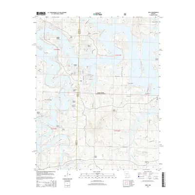
2015 Map of Viola
USGS Topo · Published 2015About this map
Table Rock Lake dominates the center of this Ozark landscape, its complex shoreline winding through the Mark Twain National Forest. The map captures the intersection of Barry and Stone Counties, where settlements like Viola and Shell Knob are established along the ridges and peninsulas created by the reservoir. This modern survey illustrates how recreation and rural life coexist, with The Peninsula Airport situated on a narrow strip of land surrounded by water.
Find a feature on this map
73 named features on this map. Tap any name to fly to it.
Don’t see what you’re looking for? This feature index may not catch every label — zoom into the map to look around manually.
Map Details
Editions of this 2015 Viola Map
This is the sole edition of this map. No revisions or reprints were ever made.
Other maps of this area

1900 · Eureka Springs
USGS Topo · 1:125,000

1901 · Eureka Springs
USGS Topo · 1:125,000

1904 · Harrison
USGS Topo · 1:125,000

1905 · Harrison
USGS Topo · 1:125,000

1907 · Forsyth
USGS Topo · 1:125,000

1927 · Shell Knob
USGS Topo · 1:62,500

1945 · Harrison
USGS Topo · 1:250,000

1949 · Harrison
USGS Topo · 1:250,000

1950 · Shell Knob
USGS Topo · 1:62,500

1954 · Harrison
USGS Topo · 1:250,000