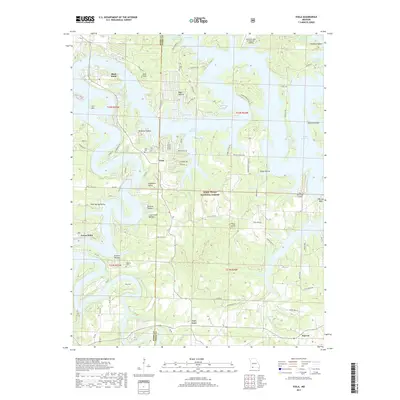
2017 Map of Viola
USGS Topo · Published 2017About this map
Table Rock Lake dominates this landscape along the border of Barry and Stone Counties, its intricate shoreline creating numerous inlets like Quail Cove and Big Bay. The topography is defined by deeply incised hollows such as Hardman Hollow and Wolfpen Hollow that drain toward the reservoir. While large portions of the area are managed as part of the Mark Twain National Forest, established communities and clusters of residential development persist at Viola and Shell Knob. Local history is anchored by several burial sites, including the Viola Cem and McGuire Cem, which remain as markers of the area's early settlement. The presence of The Peninsula Airport and Discovery Bay at Norwalk Landing reflects the modern transition of this region into a center for recreation and aviation, contrasting with the remote character of the surrounding timberland.
Find a feature on this map
77 named features on this map. Tap any name to fly to it.
Don’t see what you’re looking for? This feature index may not catch every label — zoom into the map to look around manually.
Map Details
Editions of this 2017 Viola Map
This is the sole edition of this map. No revisions or reprints were ever made.
Other maps of this area

1900 · Eureka Springs
USGS Topo · 1:125,000

1901 · Eureka Springs
USGS Topo · 1:125,000

1904 · Harrison
USGS Topo · 1:125,000

1905 · Harrison
USGS Topo · 1:125,000

1907 · Forsyth
USGS Topo · 1:125,000

1927 · Shell Knob
USGS Topo · 1:62,500

1945 · Harrison
USGS Topo · 1:250,000

1949 · Harrison
USGS Topo · 1:250,000

1950 · Shell Knob
USGS Topo · 1:62,500

1954 · Harrison
USGS Topo · 1:250,000