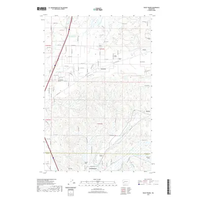
2020 Map of Violet Prairie
USGS Topo · Published 2020About this map
The Violet Prairie and Grand Mound Prairie dominate the landscape north of Centralia, showcasing the glacial outwash plains that define this portion of the Thurston and Lewis County border. The map documents a corridor of transit and settlement anchored by the Skookumchuck River and the historical path of Old Highway 99. Small airfields such as Sorrell Airport and Wissler's Airport serve the rural communities between the more established centers of Tenino and Bucoda. Further south, the landscape shifts toward the industrial and agricultural valley floors of Zenker Valley and Hanaford Valley, where Hanaford Cr and Coffee Cr drain toward the urban fringe. The map provides clear evidence of the area's transition from open prairie to structured residential and agricultural parcels, particularly around the settlement of Sunnydale.
Find a feature on this map
62 named features on this map. Tap any name to fly to it.
Don’t see what you’re looking for? This feature index may not catch every label — zoom into the map to look around manually.
Map Details
Editions of this 2020 Violet Prairie Map
This is the sole edition of this map. No revisions or reprints were ever made.
Other maps of this area

1916 · Chehalis
USGS Topo · 1:125,000

1940 · Tenino
USGS Topo · 1:62,500

1941 · Meskill
USGS Topo · 1:62,500

1941 · Gate
USGS Topo · 1:62,500

1944 · Tenino
USGS Topo · 1:62,500

1949 · Tenino
USGS Topo · 1:62,500

1953 · Hoquiam
USGS Topo · 1:250,000

1953 · Rochester
USGS Topo · 1:62,500

1953 · Adna
USGS Topo · 1:62,500

1954 · Centralia
USGS Topo · 1:62,500