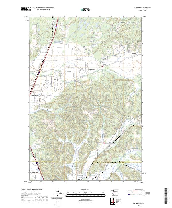
2023 Map of Violet Prairie
USGS Topo · Published 2023About this map
Violet Prairie and the surrounding glacial outwash plains define this corridor between the southern edge of the Puget Sound region and the Chehalis River valley. The landscape is a distinct mix of open prairies and narrow, creek-carved valleys, including the Zenker Valley and Hanaford Valley. Significant human development is clustered around the Skookumchuck River and the northern outskirts of Centralia, where the terrain flattens into Fords Prairie. The map documents a transition from the dense residential and industrial patterns of Bucoda and Grand Mound to the more utilitarian features of the rural landscape, such as the Monte Vista Poultry Detention Pond and small private airfields like Wissler's Airport. Transportation routes like Old Hwy 99 SE and various county roads parallel the natural drainage of Scatter Creek and Coffee Creek, illustrating how the region's topography has dictated the placement of historic settlements and modern infrastructure.
Find a feature on this map
97 named features on this map. Tap any name to fly to it.
Don’t see what you’re looking for? This feature index may not catch every label — zoom into the map to look around manually.
Map Details
Editions of this 2023 Violet Prairie Map
This is the sole edition of this map. No revisions or reprints were ever made.
Other maps of this area

1916 · Chehalis
USGS Topo · 1:125,000

1940 · Tenino
USGS Topo · 1:62,500

1941 · Meskill
USGS Topo · 1:62,500

1941 · Gate
USGS Topo · 1:62,500

1944 · Tenino
USGS Topo · 1:62,500

1949 · Tenino
USGS Topo · 1:62,500

1953 · Hoquiam
USGS Topo · 1:250,000

1953 · Rochester
USGS Topo · 1:62,500

1953 · Adna
USGS Topo · 1:62,500

1954 · Centralia
USGS Topo · 1:62,500