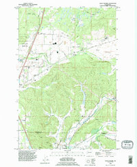
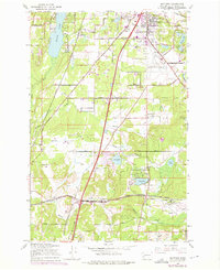
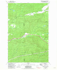
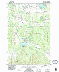
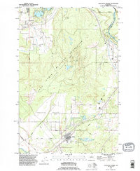
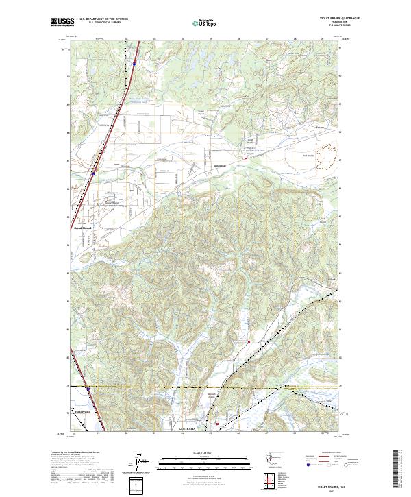
1990 Map of Violet Prairie
USGS Topo · Published 1995About this map
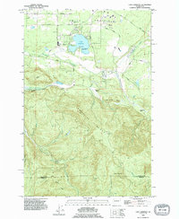
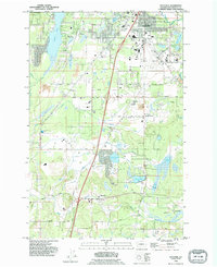
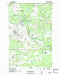
Violet Prairie and Mound Prairie dominate this landscape south of Olympia, where the unique mounded topography of the Grand Mound area meets the industrial history of the Washington coalfields. This 1990 revision captures the transitional character of the border between Thurston and Lewis counties, where timber-covered hills such as Lemon Hill and Davis Hill overlook a valley floor carved by the Skookumchuck River.
Find a feature on this map
48 named features on this map. Tap any name to fly to it.
Don’t see what you’re looking for? This feature index may not catch every label — zoom into the map to look around manually.
Map Details
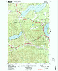
Editions of this 1990 Violet Prairie Map
This is the sole edition of this map. No revisions or reprints were ever made.
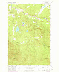
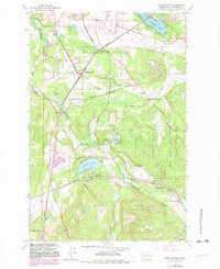
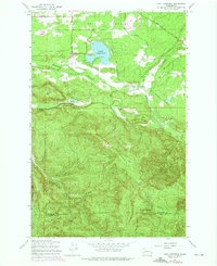
Historical Maps of Centralia Through Time
29 maps found

1941 Gate
Thurston County, WA
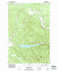
1959 Bald Hill
Thurston County, WA
1959 East Olympia
Thurston County, WA
1959 Lake Lawrence
Thurston County, WA
1959 Maytown
Thurston County, WA
1959 Tenalquot Prairie
Thurston County, WA
1959 Tenino SW
Thurston County, WA
1959 Vail
Thurston County, WA
1981 Kamilche Valley
Thurston County, WA
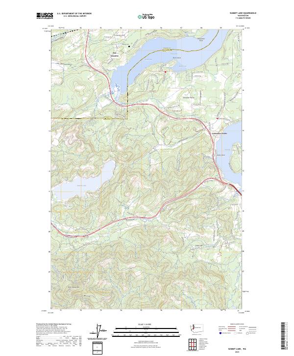
1981 Summit Lake
Thurston County, WA
1986 Littlerock
Thurston County, WA
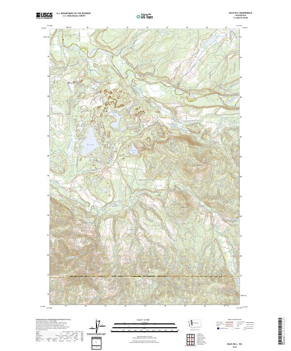
1990 Bald Hill
Thurston County, WA
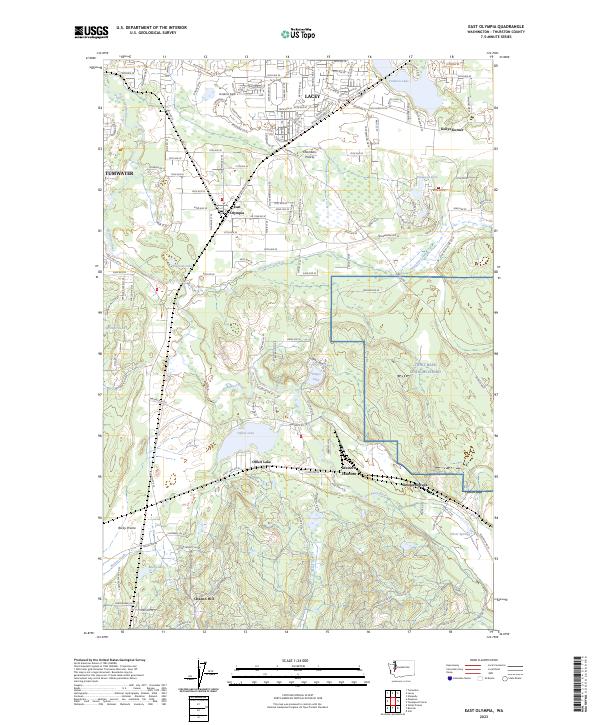
1990 East Olympia
Thurston County, WA
1990 Lake Lawrence
Thurston County, WA
1990 Maytown
Thurston County, WA
1990 Mc Kenna
Thurston County, WA
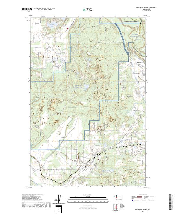
1990 Tenalquot Prairie
Thurston County, WA
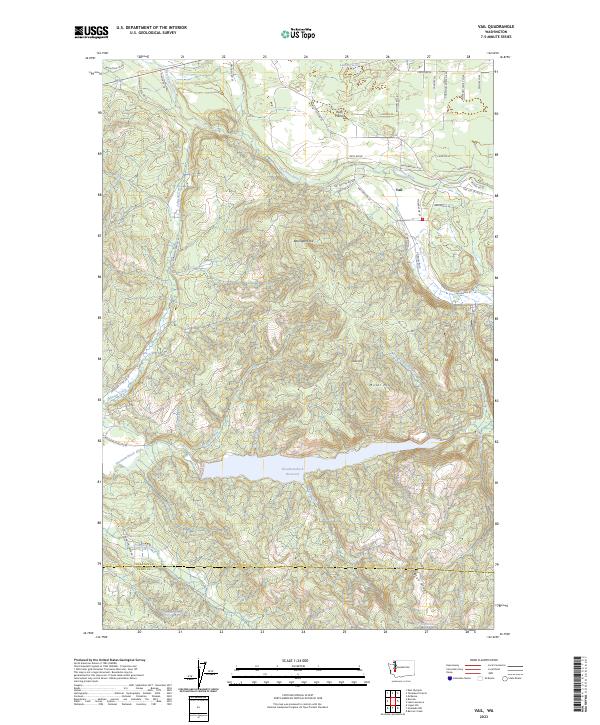
1990 Vail
Thurston County, WA
1990 Violet Prairie
Thurston County, WA
2023 Bald Hill
Thurston County, WA
2023 East Olympia
Thurston County, WA
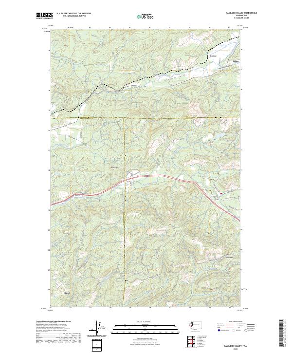
2023 Kamilche Valley
Thurston County, WA
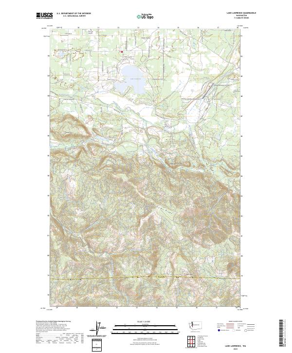
2023 Lake Lawrence
Thurston County, WA
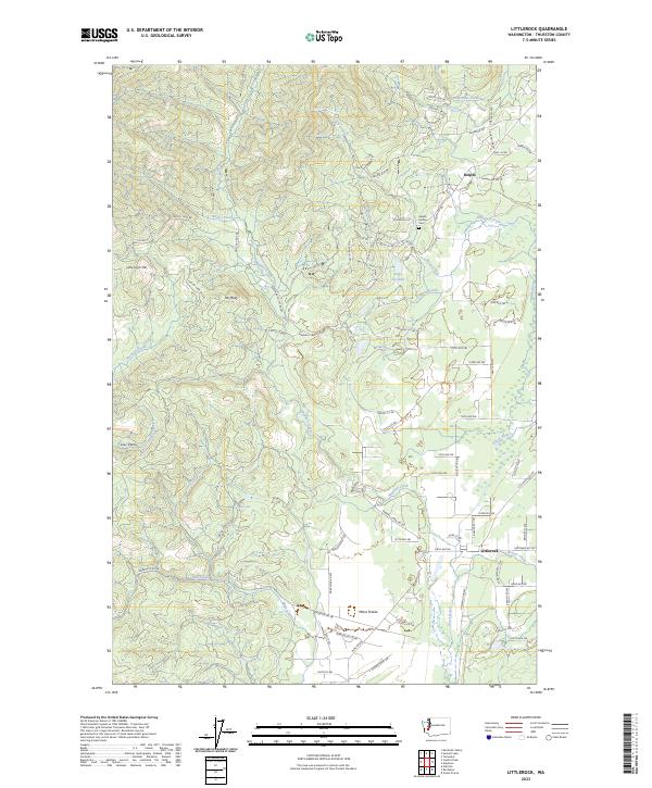
2023 Littlerock
Thurston County, WA
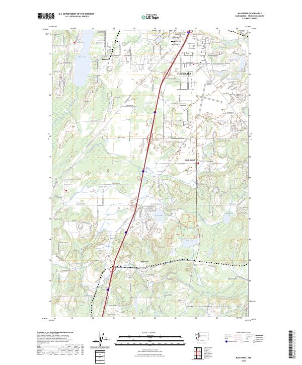
2023 Maytown
Thurston County, WA
2023 Summit Lake
Thurston County, WA
2023 Tenalquot Prairie
Thurston County, WA
2023 Vail
Thurston County, WA
2023 Violet Prairie
Thurston County, WA