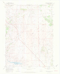
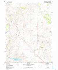
1967 Map of Virginia Dale
USGS Topo · Published 1971About this map
Virginia Dale sits at the heart of this landscape along the historic Overland Trail, serving as a focal point for settlement near the Colorado-Wyoming border. The presence of the Overland Trail Stage Station and Virginia Dale Sch reflects the area's role as a vital corridor for western transit and local ranching life. The terrain is marked by dramatic features such as Lovers Leap and Table Mountain, with the Cache La Poudre River and Halligan Reservoir providing essential water resources in the southern reach. Local history is grounded in family-run operations like Logan Ranch and Maxwell Ranch, while the Virginia Dale Ch and nearby Cem indicate the established community structure of the late 1960s. The network of drainage, including Deadman Creek and Tenmile Creek, shapes the movement of cattle and travelers through the high plains and foothills.
Find a feature on this map
33 named features on this map. Tap any name to fly to it.
Don’t see what you’re looking for? This feature index may not catch every label — zoom into the map to look around manually.
Map Details
Editions of this 1967 Virginia Dale Map
5 editions found
Other maps of this area

1905 · Sherman
USGS Topo · 1:125,000

1907 · Livermore
USGS Topo · 1:125,000

1909 · Livermore
USGS Topo · 1:125,000

1948 · Sherman Mountains
USGS Topo · 1:62,500

1950 · Sherman Mountains
USGS Topo · 1:62,500

1954 · Cheyenne
USGS Topo · 1:250,000

1954 · Greeley
USGS Topo · 1:250,000

1957 · Greeley
USGS Topo · 1:250,000

1958 · Cheyenne
USGS Topo · 1:250,000

1958 · Greeley
USGS Topo · 1:250,000