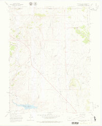
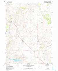
1967 Map of Virginia Dale
USGS Topo · Published 1978About this map
Overland Trail history defines this high-elevation landscape along the Colorado-Wyoming border, where the historic Overland Trail Stage Station sits west of the settlement at Virginia Dale. The 1967 terrain is dominated by distinctive geologic formations like Table Mountain, Lovers Leap, and Red Mountain, with many local drainage systems including Deadman Creek and Lonetree Creek flowing toward the southern reservoir.
Find a feature on this map
32 named features on this map. Tap any name to fly to it.
Don’t see what you’re looking for? This feature index may not catch every label — zoom into the map to look around manually.
Map Details
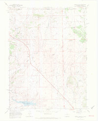
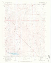
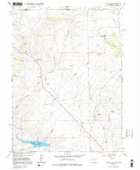
Editions of this 1967 Virginia Dale Map
5 editions found
Other maps of this area

1905 · Sherman
USGS Topo · 1:125,000

1907 · Livermore
USGS Topo · 1:125,000

1909 · Livermore
USGS Topo · 1:125,000

1948 · Sherman Mountains
USGS Topo · 1:62,500

1950 · Sherman Mountains
USGS Topo · 1:62,500

1954 · Cheyenne
USGS Topo · 1:250,000

1954 · Greeley
USGS Topo · 1:250,000

1957 · Greeley
USGS Topo · 1:250,000

1958 · Cheyenne
USGS Topo · 1:250,000

1958 · Greeley
USGS Topo · 1:250,000