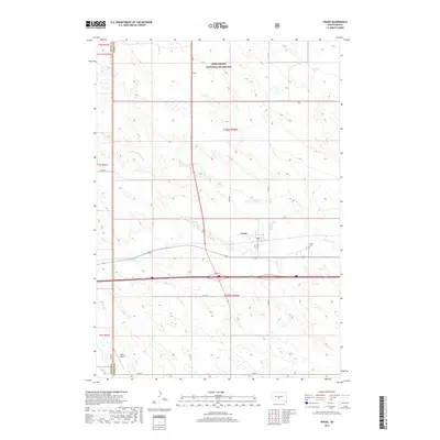
2017 Map of Vivian
USGS Topo · Published 2017About this map
Vivian sits at the heart of this central South Dakota landscape, serving as a primary point of settlement where local roads like Main Ave and C Ave meet. The township is situated south of the sprawling Fort Pierre National Grassland, an expansive prairie environment that dominates the northern half of the region. The drainage patterns of the Great Plains are clearly visible through the winding paths of Medicine Creek and its tributary, the North Fork Medicine Creek, which carve through the terrain. For those researching local heritage, the Vivian Cemetery and the Oller Airport provide specific points of interest. The area's administrative history is also documented along the Jones and Lyman county line, illustrating the intersection of these two rural jurisdictions.
Find a feature on this map
21 named features on this map. Tap any name to fly to it.
Don’t see what you’re looking for? This feature index may not catch every label — zoom into the map to look around manually.
Map Details
Editions of this 2017 Vivian Map
This is the sole edition of this map. No revisions or reprints were ever made.
Other maps of this area

1954 · Pierre
USGS Topo · 1:250,000

1955 · Martin
USGS Topo · 1:250,000

1958 · Pierre
USGS Topo · 1:250,000

1958 · Martin
USGS Topo · 1:250,000

1967 · Ft. George Butte SW
USGS Topo · 1:24,000

1970 · Vivian SW
USGS Topo · 1:24,000

1972 · Pierre 3 SW
USGS Topo · 1:24,000

1972 · Pierre 3 SE
USGS Topo · 1:24,000

1972 · Vivian
USGS Topo · 1:24,000

1972 · Vivian SE
USGS Topo · 1:24,000