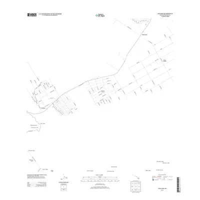
2013 Map of Volcano
USGS Topo · Published 2013About this map
The Island of Hawaiʻi reveals its volcanic architecture on this 2013 survey, which documents the active landscape of the East Rift Zone. The map centers on the community of Volcano, where a grid of residential streets including Kilauea Rd and several numbered avenues meet Old Volcano Rd. To the northeast, the settlements of Glenwood and Fern Forest occupy the forested slopes above the primary volcanic features. This edition is particularly valuable for its precise labeling of historical geomorphology, tracing the footprints of several significant events including the Lava Flow of 1959 near Kilauea Iki Crater and more recent deposits from the Lava Flow of 1972. The iconic Chain of Craters road alignment provides a reference for the series of pits and vents that define this terrain, from Puhimau Crater and Kōkoʻolau Crater to the distinctively named Devils Throat.
Find a feature on this map
116 named features on this map. Tap any name to fly to it.
Don’t see what you’re looking for? This feature index may not catch every label — zoom into the map to look around manually.
Map Details
Editions of this 2013 Volcano Map
This is the sole edition of this map. No revisions or reprints were ever made.
Other maps of this area

1917 · Hilo
USGS Topo · 1:62,500

1921 · Kilauea
USGS Topo · 1:62,500

1922 · Puna
USGS Topo · 1:62,500

1924 · Kilauea
USGS Topo · 1:62,500

1924 · Puna
USGS Topo · 1:62,500

1930 · Humuula
USGS Topo · 1:62,500

1932 · Hilo
USGS Topo · 1:62,500

1954 · Hawaii South
USGS Topo · 1:250,000

1954 · Hawaii North
USGS Topo · 1:250,000
1956 · Kulani
USGS Topo · 1:24,000