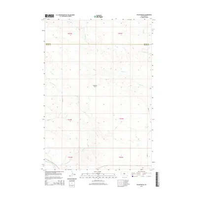
2015 Map of Volunteer SE
USGS Topo · Published 2015About this map
Englishman Butte rises as a prominent landmark in this western South Dakota landscape, surveyed for this 2015 edition. The terrain is defined by a dense network of drainages, including the winding course of Eightmile Cr and Fourmile Cr, which eventually converge toward the Belle Fourche River at the southern edge of the map. This quadrangle captures the transition from Butte County into Meade County, illustrating a sparsely populated region where section lines and high-clearance roads like 4 Mile Rd provide the primary grid for ranching and land management.
Find a feature on this map
15 named features on this map. Tap any name to fly to it.
Don’t see what you’re looking for? This feature index may not catch every label — zoom into the map to look around manually.
Map Details
Editions of this 2015 Volunteer SE Map
This is the sole edition of this map. No revisions or reprints were ever made.
Other maps of this area

1893 · Rapid
USGS Topo · 1:125,000

1898 · Rapid
USGS Topo · 1:125,000

1903 · Rapid
USGS Topo · 1:125,000

1913 · Newell
USGS Topo · 1:125,000

1951 · Volunteer
USGS Topo · 1:24,000

1951 · Volunteer SE
USGS Topo · 1:24,000

1953 · Rapid City 1 NW
USGS Topo · 1:24,000

1953 · Hereford
USGS Topo · 1:24,000

1953 · Rapid City 1 NE
USGS Topo · 1:24,000

1953 · Rapid City
USGS Topo · 1:250,000