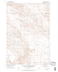
1951 Map of Volunteer SE
USGS Topo · Published 1953About this map
The Belle Fourche River winds across the southern reaches of this Meade County landscape, where the prairie begins to break into the dramatic topography of Englishman Butte. Mapped during the early 1950s as part of a Department of the Interior program for the development of the Missouri River Basin, the area shows a sparse network of unimproved roads and light-duty tracks connecting rural landmarks. The local community center is anchored by the Volunteer Sch, located near the riverbank, providing a specific point of interest for genealogists tracing the early educational history of this western South Dakota region. Narrow drainage systems like Fourmile Creek and Eightmile Creek carve through the terrain, illustrating the natural watershed patterns before modern irrigation or major landscape alterations. A lone Gravel Pit in the southwest corner indicates the modest industrial activity supporting local infrastructure at mid-century.
Find a feature on this map
7 named features on this map. Tap any name to fly to it.
Don’t see what you’re looking for? This feature index may not catch every label — zoom into the map to look around manually.
Map Details
Editions of this 1951 Volunteer SE Map
2 editions found

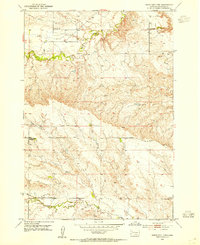
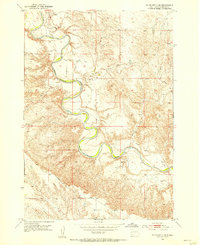
Other maps of this area

1893 · Rapid
USGS Topo · 1:125,000

1898 · Rapid
USGS Topo · 1:125,000

1903 · Rapid
USGS Topo · 1:125,000

1913 · Newell
USGS Topo · 1:125,000
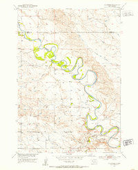
1951 · Volunteer
USGS Topo · 1:24,000
1953 · Rapid City 1 NW
USGS Topo · 1:24,000

1953 · Hereford
USGS Topo · 1:24,000
1953 · Rapid City 1 NE
USGS Topo · 1:24,000

1953 · Rapid City
USGS Topo · 1:250,000

1957 · Rapid City
USGS Topo · 1:250,000