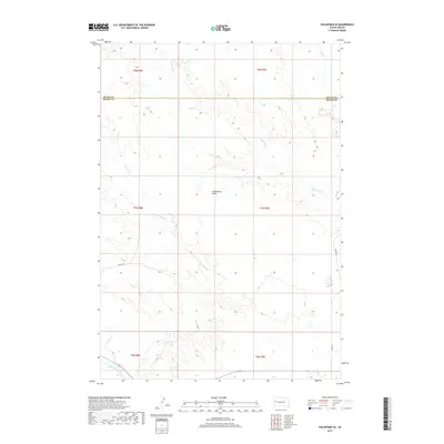
2017 Map of Volunteer SE
USGS Topo · Published 2017About this map
Englishman Butte stands as a prominent landmark in this segment of the West River country, where the landscape is defined by the drainage systems of the Belle Fourche River. The terrain is etched by several significant watercourses, including Eightmile Cr and the convergent paths of Fourmile Cr and Dry Fourmile Cr. This area spans the border of Butte and Meade counties, showcasing a rural infrastructure of section lines and gravel roads such as 146th Ave and Juniper Pl. The map reveals the intricate natural topography of the High Plains before these drainages reach larger reservoirs, preserving the exact hydrological network and named coulees as they existed in the late 2010s.
Find a feature on this map
15 named features on this map. Tap any name to fly to it.
Don’t see what you’re looking for? This feature index may not catch every label — zoom into the map to look around manually.
Map Details
Editions of this 2017 Volunteer SE Map
This is the sole edition of this map. No revisions or reprints were ever made.
Other maps of this area

1893 · Rapid
USGS Topo · 1:125,000

1898 · Rapid
USGS Topo · 1:125,000

1903 · Rapid
USGS Topo · 1:125,000

1913 · Newell
USGS Topo · 1:125,000

1951 · Volunteer
USGS Topo · 1:24,000

1951 · Volunteer SE
USGS Topo · 1:24,000

1953 · Rapid City 1 NW
USGS Topo · 1:24,000

1953 · Hereford
USGS Topo · 1:24,000

1953 · Rapid City 1 NE
USGS Topo · 1:24,000

1953 · Rapid City
USGS Topo · 1:250,000