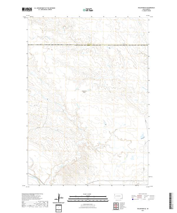
2021 Map of Volunteer SE
USGS Topo · Published 2021About this map
Englishman Butte stands as a prominent landmark in this western South Dakota landscape, which straddles the boundary between Butte and Meade counties. This modern survey reveals a region defined by its complex drainage network, where seasonal waterways like Eightmile Cr and Fourmile Cr carve across the plains toward the Belle Fourche River at the southern edge of the quadrangle. The map details a sparsely populated ranching or agricultural environment, with transportation limited to long thoroughfares such as 146th Ave and Juniper Pl. The layout of the Public Land Survey System is clearly visible, showing the divisions of Township 6, 7, and 8 North across Ranges 8 and 9 East. For researchers, the map provides a precise look at the hydrology of the area, including Dry Fourmile Cr and W Elm Cr, illustrating how the land is managed and divided in this corner of the state.
Find a feature on this map
15 named features on this map. Tap any name to fly to it.
Don’t see what you’re looking for? This feature index may not catch every label — zoom into the map to look around manually.
Map Details
Editions of this 2021 Volunteer SE Map
This is the sole edition of this map. No revisions or reprints were ever made.
Other maps of this area

1893 · Rapid
USGS Topo · 1:125,000

1898 · Rapid
USGS Topo · 1:125,000

1903 · Rapid
USGS Topo · 1:125,000

1913 · Newell
USGS Topo · 1:125,000

1951 · Volunteer
USGS Topo · 1:24,000

1951 · Volunteer SE
USGS Topo · 1:24,000

1953 · Rapid City 1 NW
USGS Topo · 1:24,000

1953 · Hereford
USGS Topo · 1:24,000

1953 · Rapid City 1 NE
USGS Topo · 1:24,000

1953 · Rapid City
USGS Topo · 1:250,000