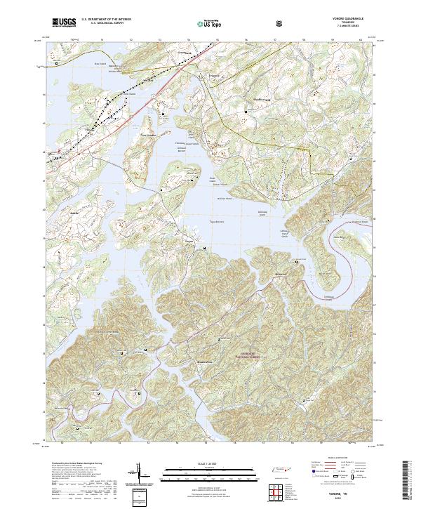
2022 Map of Vonore
USGS Topo · Published 2022About this map
Fort Loudon and the surrounding river landscape define this area of Tennessee, where the Tellico River meets the larger waters of Tellico Lake. The map reveals a dense network of family and community heritage, marked by numerous burial grounds such as the Niles-McGhee Cem, Oakland Cem, and Montgomery Cem. These sites, alongside the namesake Shaddon Mill, point to the long-standing agricultural and social hubs of the region before the modern impoundment of the rivers.
Find a feature on this map
171 named features on this map. Tap any name to fly to it.
Don’t see what you’re looking for? This feature index may not catch every label — zoom into the map to look around manually.
Map Details
Editions of this 2022 Vonore Map
This is the sole edition of this map. No revisions or reprints were ever made.
Other maps of this area

1893 · Murphy
USGS Topo · 1:125,000

1895 · Loudon
USGS Topo · 1:125,000

1914 · Murphy
USGS Topo · 1:125,000

1933 · Haw Knob
USGS Topo · 1:48,000

1933 · Whiteoak Flats
USGS Topo · 1:24,000

1933 · Rafter
USGS Topo · 1:24,000

1934 · Mount Vernon
USGS Topo · 1:24,000

1935 · Binfield
USGS Topo · 1:24,000

1935 · Tellico
USGS Topo · 1:48,000

1935 · Meadow
USGS Topo · 1:24,000