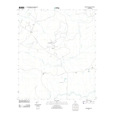
2011 Map of Vredenburgh
USGS Topo · Published 2011About this map
Vredenburgh serves as the central hub of this Monroe County landscape, characterized by a grid of local roads and family-named landmarks. The town center is anchored by the Vredenburgh Post Office, while the surrounding countryside is dotted with historical burial grounds including Dees Cemetery to the northwest, Basidonia Cemetery to the southeast, and Buena Vista Cemetery near the eastern border. These sites provide valuable touchpoints for genealogists tracing family histories in the rural South.
Find a feature on this map
39 named features on this map. Tap any name to fly to it.
Don’t see what you’re looking for? This feature index may not catch every label — zoom into the map to look around manually.
Map Details
Editions of this 2011 Vredenburgh Map
This is the sole edition of this map. No revisions or reprints were ever made.
Other maps of this area

1953 · Andalusia
USGS Topo · 1:250,000

1957 · Andalusia
USGS Topo · 1:250,000

1967 · Beatrice
USGS Topo · 1:24,000

1971 · Beatrice
USGS Topo · 1:24,000

1972 · Natchez
USGS Topo · 1:24,000

1972 · Franklin
USGS Topo · 1:24,000

1973 · Coy
USGS Topo · 1:24,000

1973 · Hybart
USGS Topo · 1:24,000

1973 · Camden South
USGS Topo · 1:24,000

1973 · Vredenburgh
USGS Topo · 1:24,000