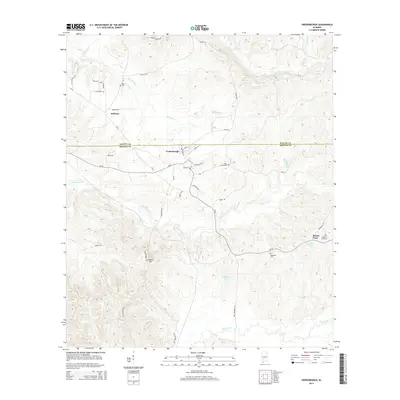
2014 Map of Vredenburgh
USGS Topo · Published 2014About this map
Vredenburgh sits at the intersection of CR-56 and CR-8, serving as a central point along the border of Wilcox and Monroe Counties. This interior Alabama landscape is defined by the winding paths of Tallatchee Cr and Big Flat Cr, which carve through the timbered terrain south of the Wilcox-Monroe county line. The settlement patterns here reflect a tradition of dispersed rural communities and family landholdings, visible in the placement of several local burial grounds including Dees Cem and Apple Grove Cem.
Find a feature on this map
44 named features on this map. Tap any name to fly to it.
Don’t see what you’re looking for? This feature index may not catch every label — zoom into the map to look around manually.
Map Details
Editions of this 2014 Vredenburgh Map
This is the sole edition of this map. No revisions or reprints were ever made.
Other maps of this area

1953 · Andalusia
USGS Topo · 1:250,000

1957 · Andalusia
USGS Topo · 1:250,000

1967 · Beatrice
USGS Topo · 1:24,000

1971 · Beatrice
USGS Topo · 1:24,000

1972 · Natchez
USGS Topo · 1:24,000

1972 · Franklin
USGS Topo · 1:24,000

1973 · Coy
USGS Topo · 1:24,000

1973 · Hybart
USGS Topo · 1:24,000

1973 · Camden South
USGS Topo · 1:24,000

1973 · Vredenburgh
USGS Topo · 1:24,000