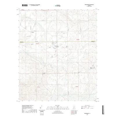
2018 Map of Vredenburgh
USGS Topo · Published 2018About this map
Vredenburgh serves as the central hub of this survey, where the town grid is defined by streets like Birch St, Sycamore St, and Hickory St. Located on the border of Wilcox and Monroe Counties, the area's geography is shaped by the winding courses of Big Flat Creek and Tallatchee Cr, alongside several named water bodies including Finklea Lake and Shannon Lake. The map reveals a landscape of dispersed rural settlements, featuring Bellview to the northwest and Buena Vista to the southeast.
Find a feature on this map
51 named features on this map. Tap any name to fly to it.
Don’t see what you’re looking for? This feature index may not catch every label — zoom into the map to look around manually.
Map Details
Editions of this 2018 Vredenburgh Map
This is the sole edition of this map. No revisions or reprints were ever made.
Other maps of this area

1953 · Andalusia
USGS Topo · 1:250,000

1957 · Andalusia
USGS Topo · 1:250,000

1967 · Beatrice
USGS Topo · 1:24,000

1971 · Beatrice
USGS Topo · 1:24,000

1972 · Natchez
USGS Topo · 1:24,000

1972 · Franklin
USGS Topo · 1:24,000

1973 · Coy
USGS Topo · 1:24,000

1973 · Hybart
USGS Topo · 1:24,000

1973 · Camden South
USGS Topo · 1:24,000

1973 · Vredenburgh
USGS Topo · 1:24,000