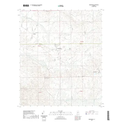
2020 Map of Vredenburgh
USGS Topo · Published 2020About this map
Vredenburgh serves as a central hub on the boundary between Wilcox and Monroe counties, characterized by a structured grid of residential streets like Walnut St and Hickory St. To the west, the settlement of Bellview occupies a ridge near Dees Cem, while Buena Vista sits to the southeast near Finklea Lake. The landscape is defined by the drainage systems of Tallatchee Cr and Big Flat Creek, which carve through the undulating terrain. Local heritage is preserved in scattered sites such as Apple Grove Cem and Basidonia Cem, connected by a network of rural routes including Zion Hill Rd and Reeves Church Rd. The topographic prominence of Lookout Hill provides a vantage point over the wetlands and creeks that define the southern half of the quadrangle.
Find a feature on this map
50 named features on this map. Tap any name to fly to it.
Don’t see what you’re looking for? This feature index may not catch every label — zoom into the map to look around manually.
Map Details
Editions of this 2020 Vredenburgh Map
This is the sole edition of this map. No revisions or reprints were ever made.
Other maps of this area

1953 · Andalusia
USGS Topo · 1:250,000

1957 · Andalusia
USGS Topo · 1:250,000

1967 · Beatrice
USGS Topo · 1:24,000

1971 · Beatrice
USGS Topo · 1:24,000

1972 · Natchez
USGS Topo · 1:24,000

1972 · Franklin
USGS Topo · 1:24,000

1973 · Coy
USGS Topo · 1:24,000

1973 · Hybart
USGS Topo · 1:24,000

1973 · Camden South
USGS Topo · 1:24,000

1973 · Vredenburgh
USGS Topo · 1:24,000