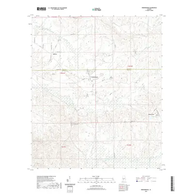
2024 Map of Vredenburgh
USGS Topo · Published 2024About this map
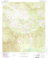
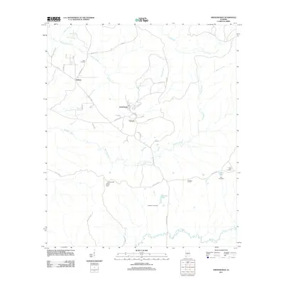
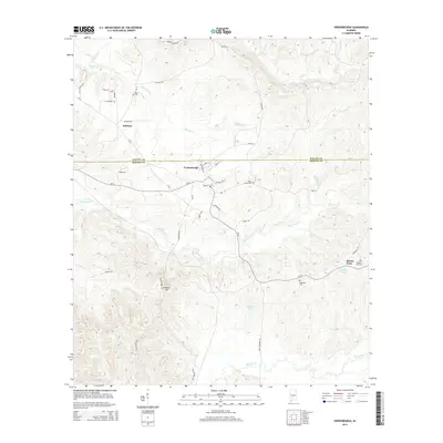
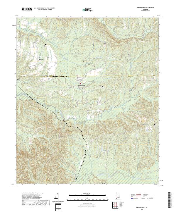
Vredenburgh serves as the focal point of this southwestern Alabama landscape, where the Wilcox Co and Monroe Co boundary line bisects the timberlands. The settlement pattern is defined by rural clusters at Bellview and Buena Vista, linked by a network of named local roads such as Reeves Church Rd and Zion Hill Rd. The terrain is deeply carved by significant drainage systems, including the southward-flowing Tallatchee Creek and the meandering Big Flat Creek at the southern edge of the survey area.
Find a feature on this map
49 named features on this map. Tap any name to fly to it.
Don’t see what you’re looking for? This feature index may not catch every label — zoom into the map to look around manually.
Map Details
Editions of this 2024 Vredenburgh Map
This is the sole edition of this map. No revisions or reprints were ever made.
Historical Maps of Vredenburgh Through Time
6 maps found