Loading...
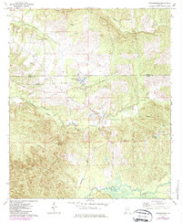
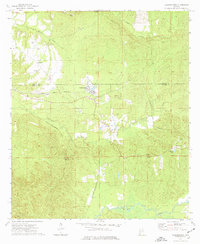
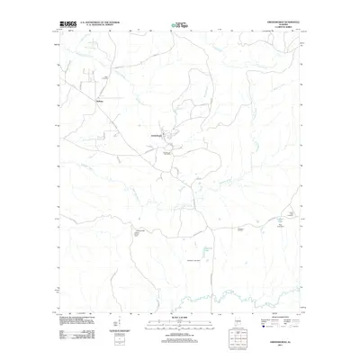
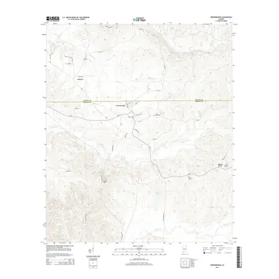
Loading map...1973 Map of Vredenburgh
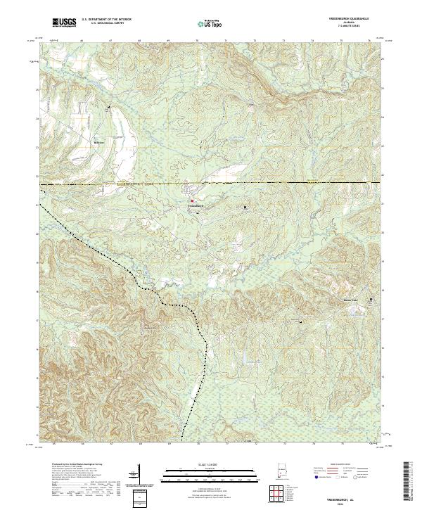
USGS Topo · Published 1987About this map
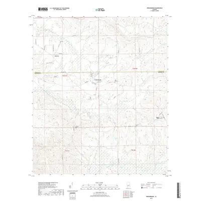
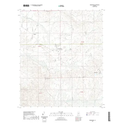
The timber and transit corridor of the Wilcox and Monroe County line defines this landscape during the early 1970s. The settlement of Vredenburgh serves as a central hub, where a small Landing Strip and the tracks of the Seaboard railroad reflect a mid-century infrastructure for moving goods and people through this rural stretch of Alabama. The map reveals a community structured around small rural congregations and family burial grounds, such as Wayman Chapel near Bellview and Mt Zion Ch to the north.
Find a feature on this map
24 named features on this map. Tap any name to fly to it.
Don’t see what you’re looking for? This feature index may not catch every label — zoom into the map to look around manually.
Map Details
Date Portrayed1973
Date Published1987
PublisherU.S. Geological Survey
Map TypeTopographic
Scale1:24,000
Physical Dimensions21.9 x 26.6 inches
Editions of this 1973 Vredenburgh Map
2 editions found
Historical Maps of Vredenburgh Through Time
6 maps found
Featured Locations
Source Details
SourceU.S. Geological Survey
CopyrightPublic Domain