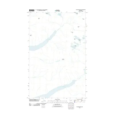
2011 Map of Vulture Peak
USGS Topo · Published 2011About this map
Vulture Peak and its namesake Vulture Glacier anchor this high-altitude glacial landscape in northern Montana. The terrain is defined by extreme relief, where ice-carved features like Two Ocean Glacier and Carter Glacier feed a network of pristine alpine drainage systems. Significant bodies of water including the elongated Quartz Lake and Logging Lake sit deep within glacially-scoured valleys, connected by the persistent flow of Quartz Creek and Logging Creek.
Find a feature on this map
20 named features on this map. Tap any name to fly to it.
Don’t see what you’re looking for? This feature index may not catch every label — zoom into the map to look around manually.
Map Details
Editions of this 2011 Vulture Peak Map
This is the sole edition of this map. No revisions or reprints were ever made.
Other maps of this area

1904 · Chief Mountain
USGS Topo · 1:125,000

1906 · Kintla Lakes
USGS Topo · 1:125,000

1938 · Chief Mountain
USGS Topo · 1:125,000

1938 · Kintla Lakes
USGS Topo · 1:125,000

1957 · Kalispell
USGS Topo · 1:250,000

1960 · Kalispell
USGS Topo · 1:250,000

1960 · Cut Bank
USGS Topo · 1:250,000

1961 · Kalispell
USGS Topo · 1:250,000

1963 · Cut Bank
USGS Topo · 1:250,000

1964 · Cut Bank
USGS Topo · 1:250,000